

Chickasaw Trail and Greenline Connector
Date Hiked: 04/15/11
Park: Shelby Farms Park Conservancy
Address:
500 North Pine Lake Drive
Memphis, TN 38134
Type of Path: paved multi-use trail
Latitude: 35.13912, Longitude: -89.83213
Round-Trip Mileage: 2.75 miles
Other Trails in the Park: Patriot Lake Trail, Tour de Wolf Trail, Wolf River Connector Trail, Greenline Trail
For Map, Trail Mileage, GPS, and Trail Notes go to Page 2
Pre-Trip Comments
Amy, my wife was going to Memphis for a teaching conference. I joined her and was going to use the trip to check out the Park. It rained hard the night before and while we driving to Memphis that morning. The grounds were very wet when I entered the parking area and the Visitor Center. At the last moment I chose to hike the paved path rather than the trail.
The Paths
Directions: Directions: From Walnut Grove Road and I-240 go east on Walnut Grove for less than two miles. Go left at the light on Farm Road. Veer right onto North Pine Lake Drive. The Visitor Center is to the right.
Chickasaw Trail

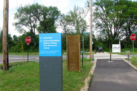
Visitor Center from Parking Area
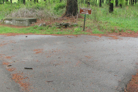
Leaving the parking area at the Visitor Center cross the road and head north on the path.
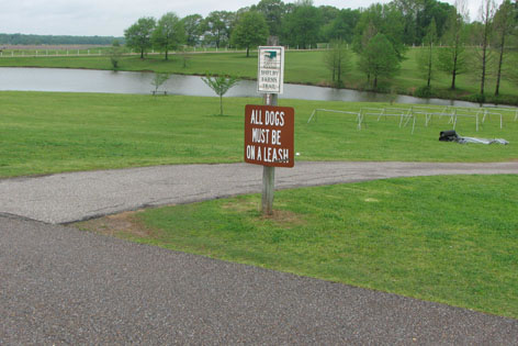
Start of Chickasaw Trail - after crossing road at Visitor Center Parking
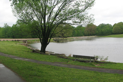
The path is close to a pond, a feeder for Patriot Lake.
Steep Hill leads to Road Crossing
The path continues through an open, grassy area, on the right side of the pond. Curving left the path crosses a creek and then climbs a hill. It is not an incredibly steep hill; but it is the steepest on the route.
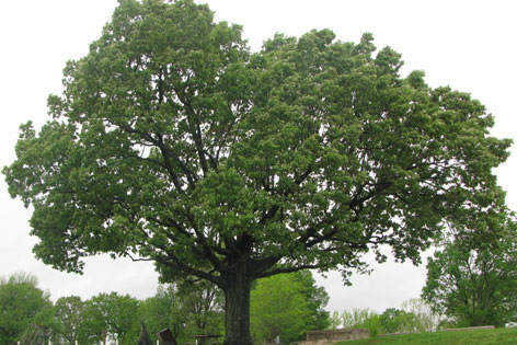
Tree at the top of the Hill
At the top of the hill the trail passes under a huge oak tree and crosses the road. Use caution.
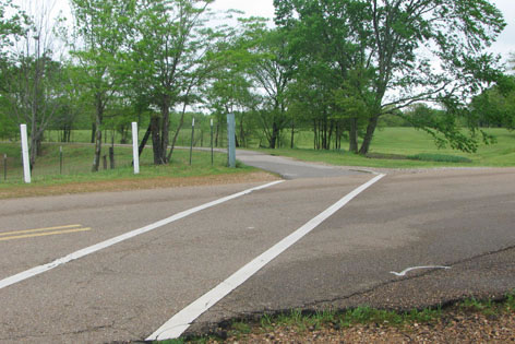
Road Crossing - .20 miles
A parking area is at the crossing. It is .20 miles from the trailhead to the crossing.
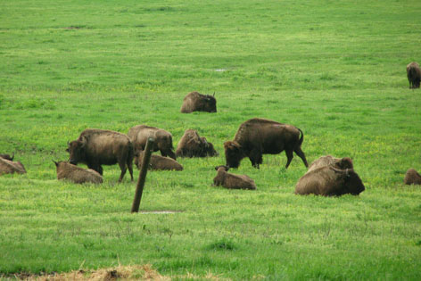
Bison Herd near the Path
Across the road the path continues between the Bison Range on the left and the Disc Golf Course on the right.
Mayor Lake - .45 miles
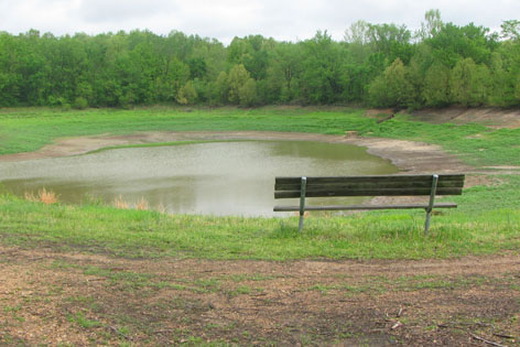
Leaving the bison the path comes to a clearing and Mayor Lake. (The Lake was drained when I walked the path). The lake is .25 miles from the crossing.
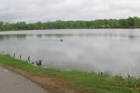
Chickasaw Lake - .75 mile (marker)
Reentering the woods the path is soon at Chickasaw Lake. Chickasaw is much bigger than Mayor. From the dam you are able to see Farm Road and the picnic area.
Start of Greenline Connector Trail - .90 miles
Just a short distance after leaving Chickasaw Lake the path reaches a split. The Greenline Connector Trail goes straight (or left). The Chickasaw Trail continues to the right.
Greenline Connector Trail
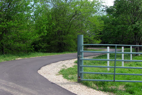
Looking back at the Gate
From the split go straight or left. Pass through a gate and continue on the paved path. A dirt road then branches off to the left (to Farm Road, Gate 4).
The First Creek Crosses the Path in the Trees - 1.15 miles
At .25 miles from the start of the Greenline Connector, a creek is crossed as the trail passes through lush fields.
Second Creek Crossing - 1.40 miles
Another creek is crossed in .25 miles from the first creek.
Ops Center on the Right, Junction Ahead
Continue uphill on an easy grade as the path comes parallel to Farm Road and the Ops Center
Mullins Station - Farm Road Junction, Start of the Greenline - 1.50 miles
The path ends at the Mullins Station - Farm Road intersection (at the Ops Center). Use care crossing Mullins Station Road. The Greenline Path begins at the intersection. Length of trail from Visitor Center is 1.50 miles.
Chickasaw Continued
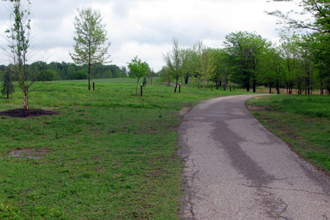
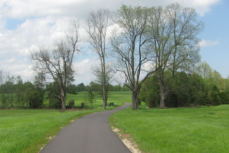
Garden of Trees Line the Path
Back at the intersection with the Greenline Connector Trail, go right. The trail passes through an arboretum (the garden of identified trees).
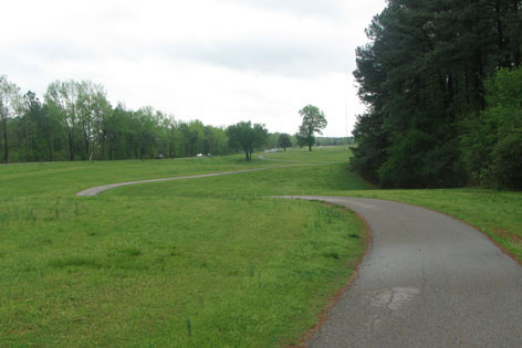
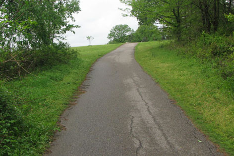
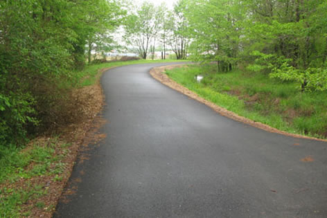
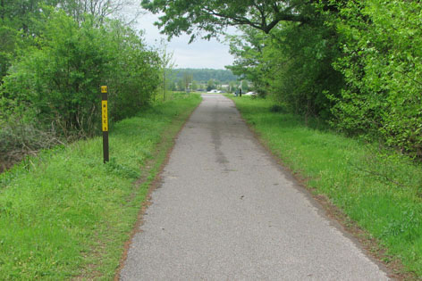
Curvy Path on the North Side of the Park
The path heads east as it curves in and out of ravines in order to maintain an even grade.
Parking Area at Gate 8 - 1.85 miles
The parking and picnic areas at Gate 8 is reached at .95 miles from the Connector Junction.
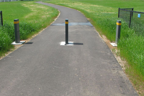
Trail Splits, Chickasaw Trail Goes Right - 2.05 miles
Continuing, the path leaves the parking area on Mullins Station Road and follows the tree line. After .20 miles go right at a junction. Left leads to a parking area near Gate 9.
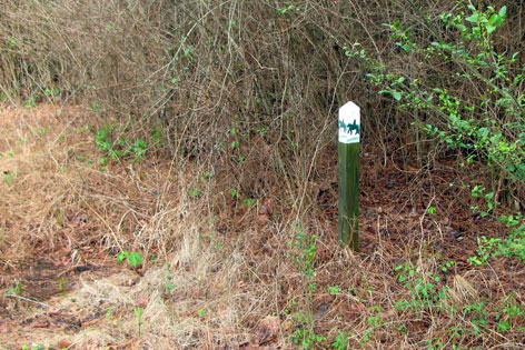
Horse Path Crossing
Enter the woods and follow through some low lands as the horse trail crosses the path.
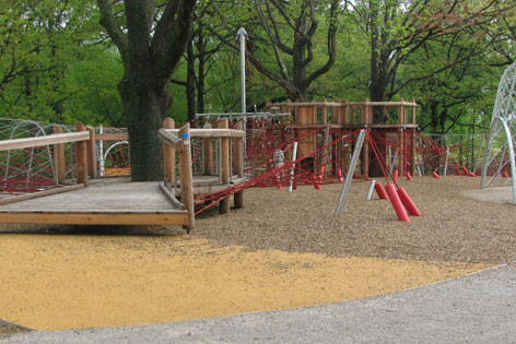
Woodland Discovery Playground, Wow! - 2.25 miles
The Woodland Discovery Playground is seen .20 miles further. Awe at the fun the children having fun as the path goes around the north side of the playground.
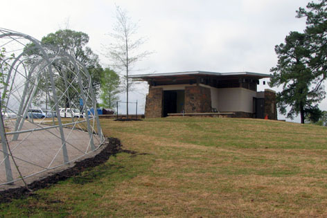
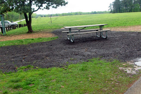
Restroom and Water at the Playground
A restroom and water is located on the south side of the playground in a few hundred feet.
Pine Lake Road Crosses the Dam, the path crosses the Road - 2.45 miles
Leaving the Playground the path crosses (use care) the road near the Pine Lake Dam.

A Small Pond Next to the Path
The path continues parallel to another pond and on for a short distance to the Visitor Center Road.
The End of the Loop, the Visitor Center Parking is ahead - 2.75 miles
The parking area is down hill and to the right (behind the Visitor Center.)