

Trails at Narrows of the Harpeth
Date Hiked: 1/3/10
Park: Harpeth River State Park
Address: Kingston Springs, Tennessee 37082
Latitude: 36.15202, Longitude: -87.11843
Trail Rating: short but with a moderate climb and uneven terrain.
Round-Trip Mileage: 2.1 miles
Other Trails in the Park: Hidden Lake (Harpeth River State Park consists of many small; but important tracts of land.)
For Map, Trail Mileage, GPS, and Trail Notes go to Page 2
Pre-Hike Comments
On a cold winter's day we went to hike the Narrows. We knew that it was mainly a unique section of the Harpeth River; but we had heard it was an interesting area. We just went to check it out.
The Hike
Directions: From Interstate 40 take exit 192 McCrory Lane. Go north on McCrory until it dead ends into Hwy 70, Charlotte Pike. Turn left (west) on Hwy 70 and travel 5.4 miles to Cedar Hill Rd. (Cedar Hill is before the bridge on hwy 70 crossing the Harpeth.) Turn right on Cedar Hill and go 3 miles to the Narrows of the Harpeth Park. Turn right off Cedar Hill just before another bridge (Harris-Street Bridge). Parking and the Trailhead are a few hundred feet away.
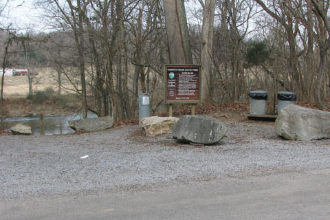
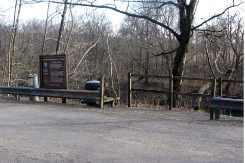
Trailhead and Parking Area
The Trailhead is at the takeout point for those wanting to canoe the Narrows. The boating routine is to drop off the canoes at the launch point (across Cedar Hill Rd on Narrows of the Harpeth Rd), drive to the takeout, and return to the boats by trail about a half mile distance. It is essentially a five mile canoe trip without a shuttle.
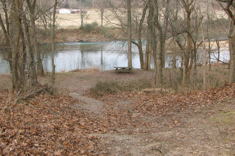
Picnicking by the River
From the Trailhead, descend on the trail to a flat area above the river.
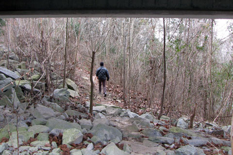
Trail going under Highway Bridge
Follow the river upstream under the Harris-Street Bridge.
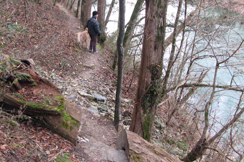
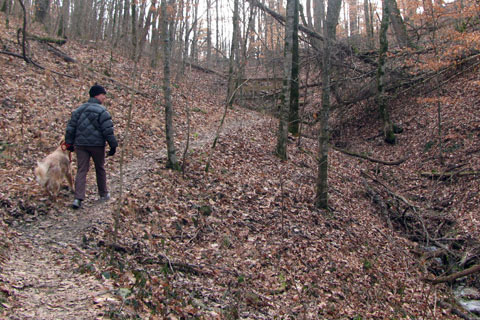
Crossing steep slope
The trail crosses a steep slope. It descends as it angles across the slope.
Leaving the River trail goes into a cove
After .25 miles the trail leaves the shore and goes into a cove crossing a drainage at .30 miles.
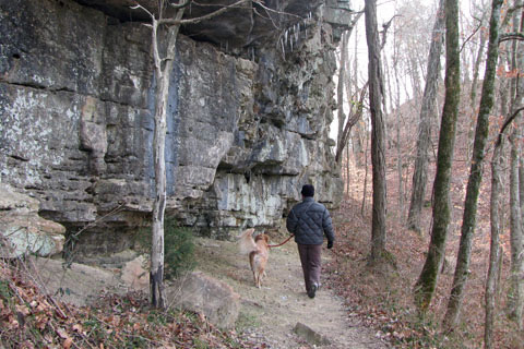
Trail beneath cliffs - ridge seen ahead
Finishing the contour, the trail returns to the river and goes under cliffs.
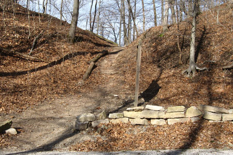
Looking down at the saddle
The saddle is located at .40 miles from the trailhead.
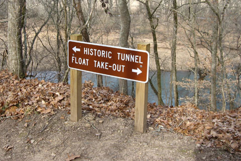
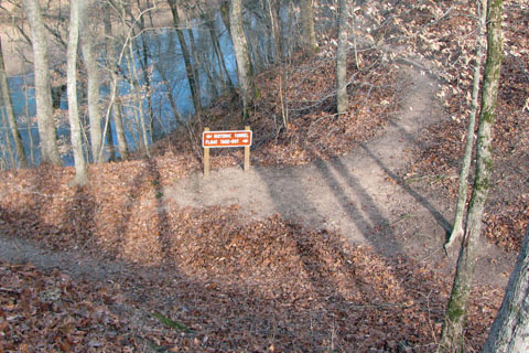
Trail sign
From the saddle go right to reach the "Historic Tunnel".
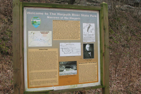
Historic Kiosk
An historic information kiosk is located near the tunnel's outlet.
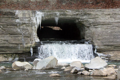
Outlet - view through the tunnel
The tunnel's discharge fills a pool before re-entering the Harpeth. The area is unique and when standing in line with the tunnel, the view includes the upstream side of the tunnel.
It is .20 miles to the pool from the saddle - .4 miles round trip.
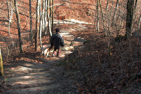
Going down the climb to the Bluff Overlook
From the saddle another trail leads up stairs to the Bluff Overlook.
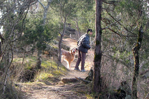
Along the ridge
At the top of the stairs the trail continues across the ridge, giving a few viewpoints off either side.
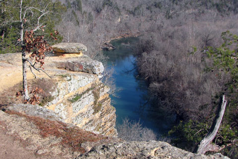
The Overlook
The Bluff Overlook is a wonderful perch. There are great views of the Harpeth.
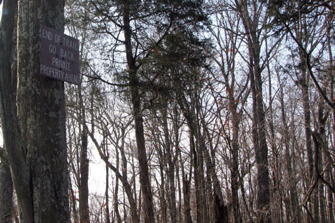
Turnaround
Just beyond the Bluff Overlook a sign is posted near the Park Boundary. The Bluff Overlook trail to the sign is .25 miles - .5 miles round trip.
Back at the saddle it is a short distance to the Narrows of the Harpeth Rd.
Saddle from the road
Go right on the road. The road is headed downstream.
Trail to Tunnel Inlet leaves road and down a ramp to the right
At .20 miles a path to the left leads down the bank and under the road to the tunnel's inlet. It was an amazing feat of engineering when it was constructed.
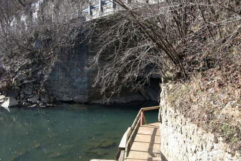
Walkway curving around to Tunnel
Return to the saddle and then back to the trailhead. The total round trip was 2.1 miles. It was a short but good adventure.