

Millennium and Merritt Ridge Trails
Date Hiked: 01/30/11
Park: Edgar Evins State Park
Address: 1630 Edgar Evins State Park Road, Silver Point, TN 38582
Latitude: 36.07792, Longitude: -85.82315
Trail Rating: Difficult, however, the steep sections are never more than a couple hundred feet in altitude gain.
Round-Trip Mileage: Millennium Trail - 2.5 miles, Merritt Ridge Trail - 5.5 miles, Total Distance - 8 miles
For Map, Trail Mileage, GPS, and Trail Notes go to Page 2
Pre-Hike Comments
We had never been to the Park before our hike. We had read about the hike from a Fran Wallas article in the Conservationist. The trail was supposed to be very steep. Sounded good to us.
The Trail
Directions: From Interstate 40 take Exit 268 (Hwy 96) south following the signs to the Park. It is 3.6 miles to the Park entrance. At the entrance the road climbs steeply for 1.5 miles to the Park Office. From the Office, continue straight for 1.1 miles (passes through a junction with a stop sign) to the trailhead.
The trailhead is located on the left side of the road. Please register your hiking group in the trailhead log. All hikers are supposed to be off the trail by dusk.
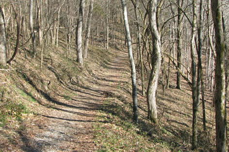
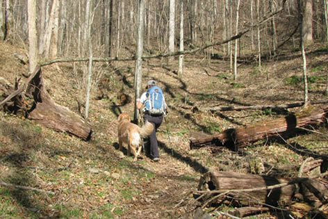
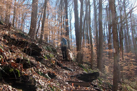
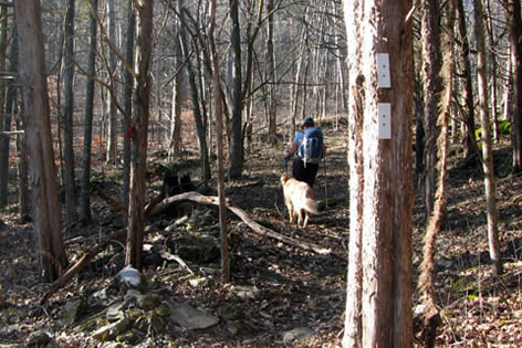
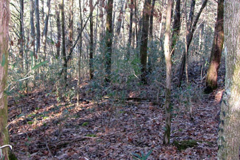
Trail starts on an easy road grade
Passing by the gate the trail follows an old road on an easy downhill grade. Near the shoreline the trail parallels the water.
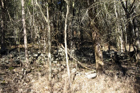
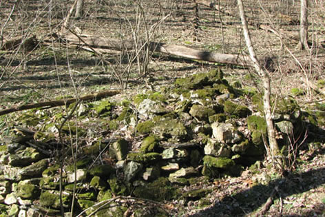
Stone fence uphill from the trail - .45 miles
After .45 mile, look sharp for a stone fence. It is located to the left of the trail (uphill).
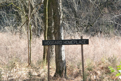
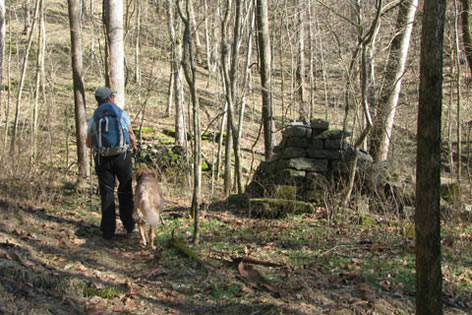
Hoggard Homeplace
Shortly after the stone fence, the Hoggard Homeplace site is signed to the right just off of the trail.
Looking down and to the right (south) at the first junction - .60 miles
The first junction is just beyond the Homeplace. Stay straight or left at the junction. The junction is .60 miles from the trailhead. This is the beginning of the Loop section of the Millennium Trail.
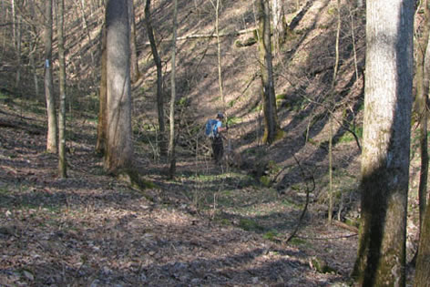
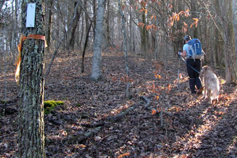
A steady climb from the junction
The nice trail leaves the lake and begins to climb.
Spring. The log bench is to the right - .85 miles
The trail continues to climb until it reaches a spring and log bench.
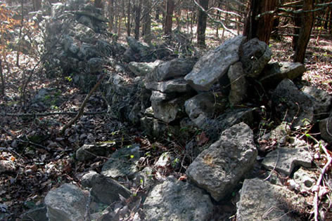
Stone fence
A stone fence is crossed as the trail comes out of the hollow and heads south.
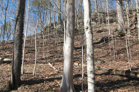
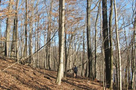
Trails passes under cliff band
The trail eases toward the east and contours under a cliff band seen at the top of the ridge.
Crossing a small creek - 1.35 miles
The trail continues to contour into a steep-sided hollow. A small creek is crossed, the trail makes a u-turn and continues slightly downhill along the other side of the creek.
Lon Christian Homeplace - 1.40 miles
The Lon Christian Homeplace is passed on the right side of the trail.
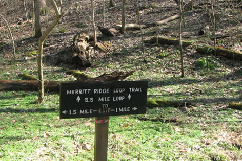
Millennium Loop connects with Merritt Ridge - 1.55 miles
Leaving the homeplace, it is a short distance to the next junction. This junction is 1.5 miles from the trailhead. To hike only the 2.5 mile Millennium Trail, continue down the hollow toward the lake. The Merritt Ridge Trail turns left and begins moving up into the next hollow. The remaining part of the Millennium Loop will be walked on the return.
Starting the climb at the first switchback - 1.80 miles
It is a quarter of a mile along the Merritt Ridge trail before reaching the first switchback.
Climbing steeply after leaving the switchback
The trail climbs sharply up steps and four switchbacks to reach the top of the ridge. The trail is steep but it is only .20 miles to the top.
Trail near the top of the ridge - 2.00 miles
A fence and boundary markers are near the top of the ridge. The trail is located off the ridge crest as it runs close to the boundary line. The fence continues for almost .55 miles. The fence make a corner and turns left, or south. The trail continues on the ridge.
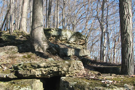
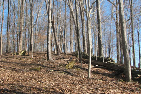
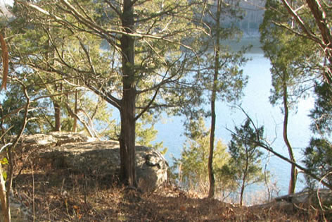
Rock outcropping at the end of the ridge - 2.60 miles
After the fence corner, the trail comes to an overlook. Remember its location for the return trip. It is a nice place to take a break.
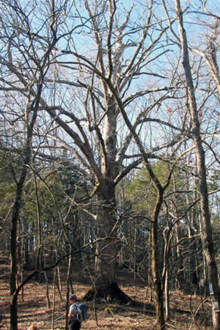
Huge oak tree in the saddle - 2.70 miles
The trail descends sharply from the overlook through a couple of switchbacks. At the bottom of the hill in a small saddle, a huge Chinkapin Oak tree dominates the view.
From the saddle, the trail goes downhill a bit to the left and crosses several small gullies. It is about .40 miles from the tree to the loop junction.
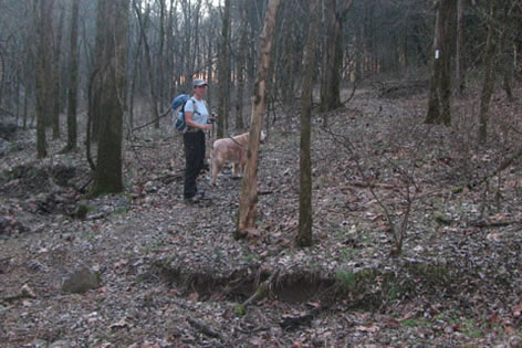
Going right at the junction - 3.10 miles
The Merritt Ridge Loop begins. Go right toward a saddle between knobs.
Steep trail to the ridge - 3.30 miles
The trail climbs slightly for about .20 miles. The trail then turns left and climbs steeply. After one rise, it climbs even more steeply. After the short rise the trail contours to the left.
![]()
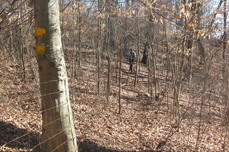
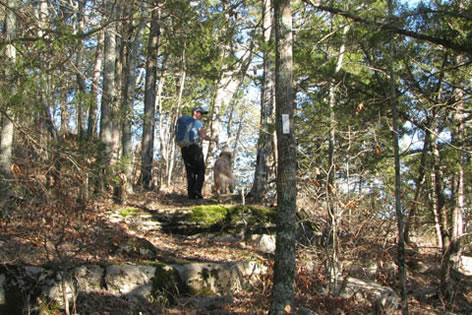
Arrow marking the trail at a switchback
At a tree with a large arrow the trail switchbacks to the right and climbs to the top of the ridge.
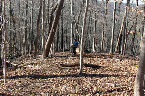
Descending the ridge - 3.95 miles
The trail stays high on the ridge for about a half of a mile then descends sharply.
Looking back at the ridge
The trail reaches a saddle and contours around the right (north) of the next rise.
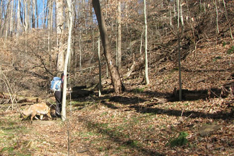
Cane along the path
A stand of cane is passed shortly after the saddle.
Point at the edge of the lake - 4.50 miles
The trail is closer to the lake's edge as it comes to the point of the peninsula. It is .45 miles from the saddle to the point.
Climbing shelves above the cliffs
The trail climbs, leaving the point on a rocky path above a small set of cliffs.
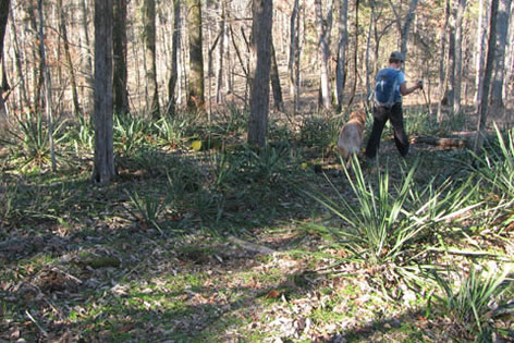
Yucca Plants
The trail travels through a patch of yucca plants and around a small inlet. (When we hiked the trail, lake trash had accumulated in the sheltered inlet.)
Returning to the Junction, end of the Merrit Ridge Loop - 5.50 miles
The trail continues to contour around the knobs. It is about .60 miles from the inlet back to the loop junction. The distance around the loop is 2.40 miles.
Turn right (downhill) at the junction and return along the path until rejoining the Millennium Loop.
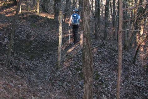
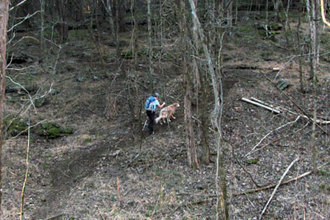
Crossing gullies on the trail
It is about .40 miles back to the oak tree.
Looking up at the rock outcropping on the ridge
Then the climb to the overlook begins. (Be ready!)
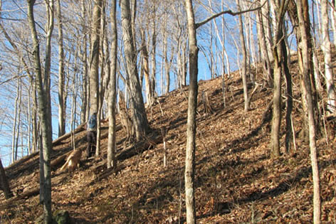
Steep climb to the top of the ridge
The steep climb to the overlook.
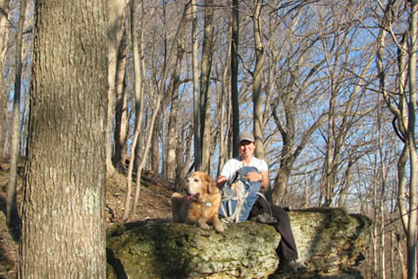
A break - 6.00 miles
The rock outcropping is a great overlook and wonderful excuse for a break. From the overlook it is .60 miles along the ridge to the start of the descent.
Once leaving the ridge it is .45 miles to return to the Millennium Trail.
Returning to the Millennium Trail, go left - 7.05 miles
At the junction of the Millennium Trail Loop, go left.
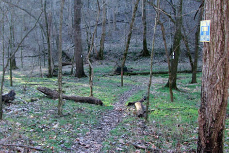
Crossing the dry creek bed
The easy trail follows an intermittent creek.
End of the Millennium Loop, go left to return to the trailhead - 7.45 miles
It is .40 miles from the Merritt Ridge Junction to the end of the Millennium Loop, at the first junction.
Turn left and return to the trailhead in .60 miles.
Total distance was 8.05 miles