

Devil’s Backbone State Natural Area, page 2
Trail Notes
It was very quiet in Spring Hollow. The small creek was all that could be heard. It was very pleasant.
On the ridges the noise from the road was constant, especially from the motorcycles.
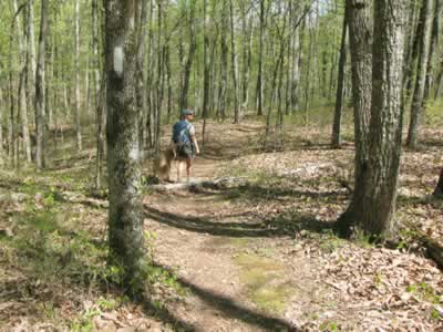
Starting the trail, just down from the kiosk
At the trailhead there were no facilities, only an information kiosk.
The kiosk gave helpful information.
There were no maps available. We didn’t need a map; but there was an empty map holder on the kiosk that was asking to be filled.
White blazes were used.
The trail was mostly easy to follow. The one exception was at the first creek crossing. A separate trail had been recently made to avoid the crossing (?). We wandered following the new trail for a minute until we saw a blaze on the trail we had just passed. We turned around and crossed the creek at the original crossing.
At important trail junctions signs were posted.
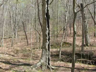
Unusual tree close to the creek. It is hollowed out, but still living
We saw three other people walking the trail.
The trail was in good shape.
There was hardly any litter, only a few cigarette butts.
Loop Trail Mileage
.00 to .50 Trailhead to junction with Loop Trail
.50 to .80 Loop trail junction going right (or straight) along the ridge until the start of the descent
.80 to 1.25 Descend to the creek and to the bridge
1.25 to 1.60 From the bridge out of the hollow to the other ridge line
1.60 to 2.70 Ridge back to Loop Trail sign
2.70 to 3.20 Reversing the trail back to the parking area and trailhead.
Map Link
The link opens in a new window.
Devil’s Backbone Trail - pdf
GPS
Control Click or Right Click for download.
Loop Trail in Text Format - devilsBackTr.txt
Loop Trail in GPX Format - devilsBackTr.gpx
Loop Trail in KML Format - devilsBackTr.kml