

Byrd Lake Trail, Pioneer Short Loop, and Pioneer Trail, page 2
Trail Notes
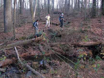
The Pioneer Trails were interesting, fun walks. The difficulty ratings were easy to moderate. Footing was the only difficulty.
The full Pioneer Loop was our favorite trail. There were some great rock outcroppings and rockhouses. Lots of variety.
Most of the trails seemed shaded.
The trails can be walked in either direction.
The Park’s facilities were well maintained.
Water and restrooms are available at the restaurant or the Office.
There is a great CCC display in the Park Office (11/22/09).
The trails were well marked and signed. They were easy to follow.
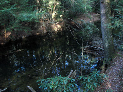
The lake looked like a great place to canoe.
Mileages are dependent on where you start the hikes.
Byrd Lake Trail Mileage
.00 to .10 Park Office to Trailhead
.10 to .50 Trailhead to Creek crossing
.50 to .70 Crossing to Bridge
.70 to .75 Cross Bridge to Boathouse
.75 to .80 Turn off road behind old Bathhouse
.80 to .90 Bathhouse to Lakeshore in front of Restaurant
.90 to 1.00 Lakeshore to Dam
1.00 to 1.20 Dam to Office
Pioneer Short Loop Trail Mileage
.00 to .05 Boathouse across Bridge
.05 to .25 Bridge to Creek crossing
.25 to .40 Crossing to Overlook (on other side of lake)
.40 to .75 Overlook to Creek crossing
.75 to 1.05 Crossing to Suspension Bridge
1.05 to 1.10 Bridge Crossing
1.10 to 1.30 Bridge to Trail to Cabins
1.20 to 1.65 Trail to Cabins to Overlook
1.65 to 2.00 Overlook to Boathouse
Pioneer Trail Mileage
.00 to .15 Suspension Bridge to Creek
.15 to .50 Crossing to Second Creek
.50 to .70 Second Crossing to Fat Man’s Squeeze
.70 to .80 Squeeze to Old Fence
.80 to .95 Fence to Creek
.95 to 1.10 Crossing to fourth Creek
1.10 to 1.25 Crossing to Outcrop
1.25 to 1.45 Outcrop to Old Mail Road
1.45 to 1.50 Bridge Crossing
1.50 to 2.35 Road to Creek crossing
2.35 to 2.50 Crossing to Suspension Bridge
Pioneer Long Loop Mileage
Mileage from the Office to the Old Mail Road and Back
.00 to .10 Park Office to Trailhead
.10 to .50 Trailhead to Creek crossing
.50 to .70 Crossing to Bridge
.70 to .90 Bridge to Creek crossing
.90 to 1.05 Crossing to Overlook (on other side of lake)
1.05 to 1.70 Overlook to Suspension Bridge
1.70 to 2.40 Bridge to Fat Man’s Squeeze
2.40 to 3.15 Squeeze to Road
3.15 to 3.20 Crossing Bridge
3.20 to 4.05 Road to Creek crossing
4.05 to 4.20 Crossing to Suspension Bridge
4.20 to 4.75 Bridge to Overlook
4.75 to 5.10 Overlook to Boathouse
5.10 to 5.35 Boathouse to Dam
5.35 to 5.55 Dam to Office
Map Link
The link opens in a new window.
Cumberland Mountain Park Trails - pdf
GPS
Control Click or Right Click for download.
Cumberland Mountain Park Trails in Text Format - cumbMtnTrails.txt
Cumberland Mountain Park Trails in GPX Format - cumbMtnTrails.gpx
Cumberland Mountain Park Trails in KML Format - cumbMtnTrails.kml