

Couchville Lake Trail
Date Hiked: 12/23/09
Park: Long Hunter State Park
Address: 2910 Hobson Pike, Hermitage, TN 37076-4027
Latitude: 36.09391, Longitude: -86.54409 (trailhead)
Type of Path: Paved
Round-Trip Mileage: 2
Other Trails in the Park: Bryant Grove, Day Loop, and Volunteer Trail
For Map, Trail Mileage, GPS, and Trail Notes go to Page 2
Pre-Trip Comments
We were just going to do it because it was there. We were not really excited about it, until we had walked it.
The Path
Directions: From Nashville take I-24 east (about ten miles) to exit 62, Old Hickory Blvd (TN 171 N). The Park is reached in a little less than 7 miles. Along the way the Old Hickory changes names to Hobson Pike. Turn right with good signage (the first right after crossing Percy Priest Lake.) The Park Office is the first right. Continuing on the Park Road, go left at .40 miles following the sign to Couchville Lake. The trailhead for the Bryant Grove Trail is at the back of the parking area, near the playground.
The Park may also be reached from I-40 by taking the Mount Juliet exit (226) and heading south on Mt Juliet Road, continue straight eventually it becomes Hobson Pike.
Park information is available at the Park Office.
Park at the Couchville Lake Picnic Area. Water, restrooms, and vending machines are available in the picnic area.
The path begins on the lakeshore behind the large trailhead kiosk. Just follow the paved path.
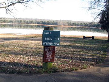
Beginning of the Trail
We did the trail counter-clockwise.
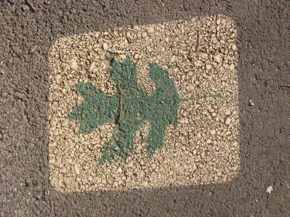
Stenciled Marker indicates Identified Tree
Leaving the trailhead we soon saw leaves stenciled onto the ashphalt path. It only took a few seconds to discover the leaves indicated a named tree. The tree wore a small identification tag.
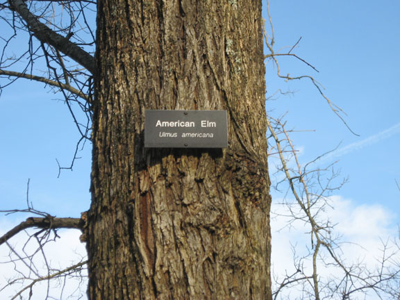
Tree Identification
There were also bits of natural history posted along the trail in framed plaques.
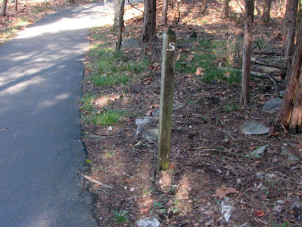
Mileage Markers
The trail had mileage posts marked in half mile increments.
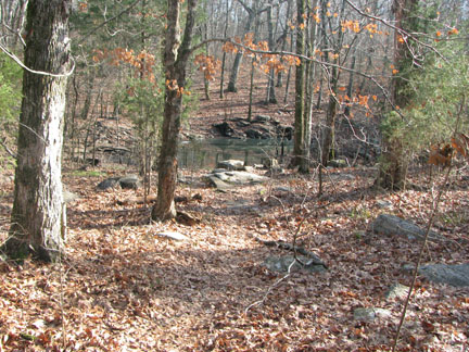
Sink Hole
A large sink in located outside the trail at .30 miles from the trailhead.
Overlook
After .10 miles from the trailhead a large overlook extends to near (depending on the water level) of the shore of the lake.
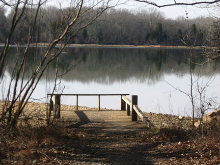
Overlook just beyond Mile Marker 1.0
The trail continues around the lake and .05 miles after 1.0 mile marker is another overlook.
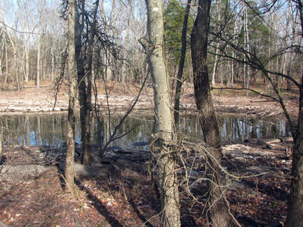
Large Sink Hole
In another .10 miles a large sink filled with water is located outside of the trail.
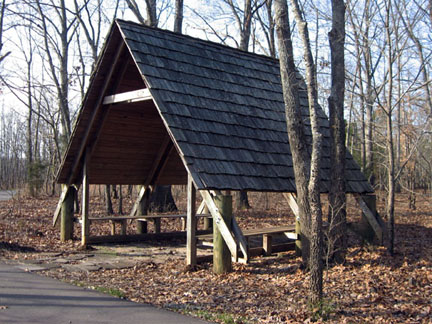
A-frame Shelter at Mile 1.30
At .15 miles further the "A" frame shelter is next to the trail.
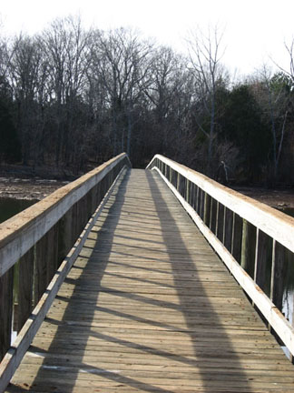
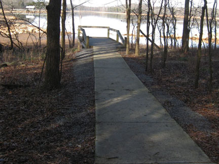
Bridge spans over 400 feet
The long bridge is located .10 miles away and extends 400 feet across the lake.
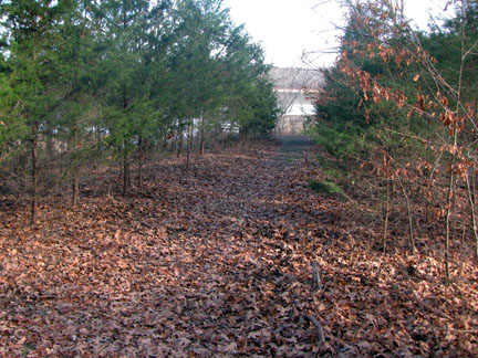
Old Road
Another .30 miles after the bridge, an old road leads to the lake and an overlook.

Last Overlook
Two more overlooks are spaced evenly at .10 miles apart.
The trailhead is just ahead.
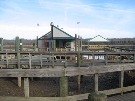
Fishing Pier at the Trailhead