

Virgin Falls - Tennessee Natural Area
Date Hiked: 01/31/12
Natural Area: Virgin Falls
Address: Scott Gulf Road (see directions)
Latitude: 35.85394, Longitude: -85.28225
Trail Rating: difficult (it is a long climb returning from Virgin Falls)
Round-Trip Mileage: 8.20 miles, add .15 miles for Sheep Cave and 1.0 miles for the Overlook side trail
For Map, Trail Mileage, GPS, and Trail Notes go to Page 2
Pre-Hike Comments
This was my first visit to the area. I had been asked by several folks why we did not have a Virgin Falls page on cloudhiking. I needed to hike the trail.
The Hike
Directions: From Hwy 111 in Sparta, Tn take Hwy 70 East toward Crossville. After about 11 miles, turn right (south) on Eastland Rd (a sign is at the intersection). At 6 miles on Eastland Rd, turn right on Scotts Gulf Rd (a sign is at the intersection). The trailhead is a couple of miles on the right.
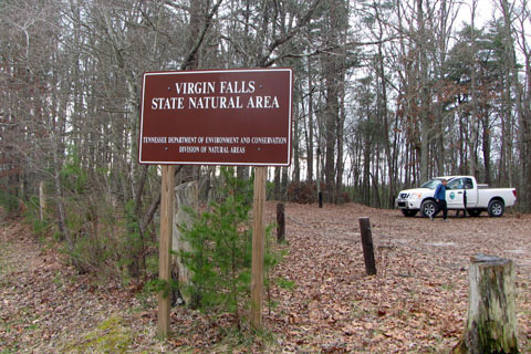
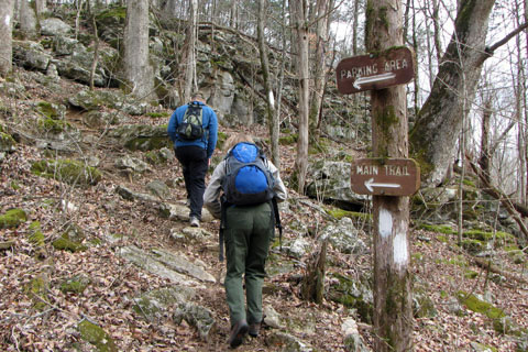
Virgin Falls Trailhead Parking
At the trailhead, be sure to read the kiosk for any updated user information. If you are planning an overnight stay, a new self registration (Nov '13) is required. See Page 2.
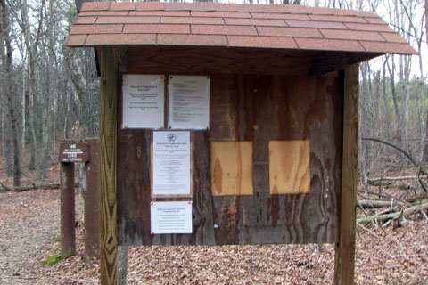
Trailhead Kiosk - mile 0
Starting from the trailhead the trail begins a gentle descent into the Big Branch drainage.
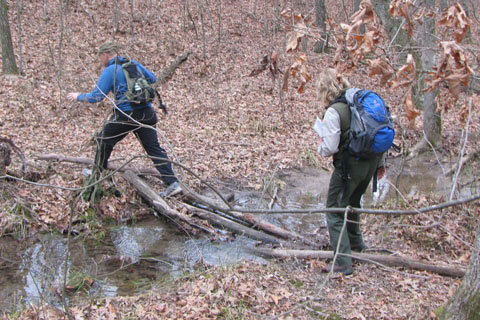
Crossing the drainage - .25 miles
.25 miles from the trailhead, cross the drainage. In the wet season the crossing could be wet.
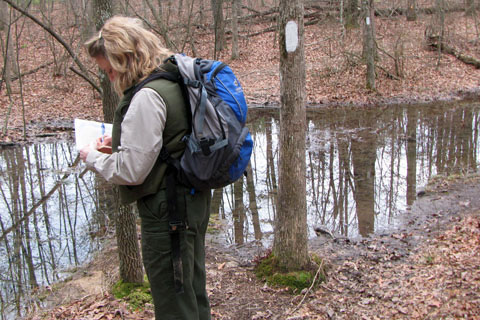
Crossing again - .45 miles
Stay on the same side of the drainage for another .20 miles and cross the creek (or creek bed) at .45 miles.
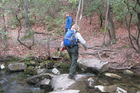
Big Branch Crossing - 1.25 miles
The trail follows Big Branch for another .80 miles until it crosses the creek on rocks.
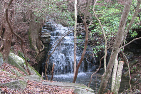
Big Branch Falls - 1.35 miles
Descending after the creek crossing the trail passes Big Branch Falls at 1.35 miles from the trailhead.
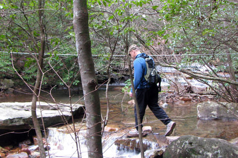
Big Laurel Creek - cable crossing - 1.50 miles
The trail leads away from Big Branch and after a couple of switchbacks comes to the Cable Crossing of Big Laurel Creek. A cable has been rigged across the creek to aid in crossing especially in higher water. All stream crossings may be dangerous in high water. Please use caution. The Cable Crossing is at 1.50 miles from the trailhead.
The first camping sites are located near the crossing.
Overlook Trail Junction - 1.65 miles
Following Big Laurel Creek in .15 miles is the junction with the Overlook Trail.
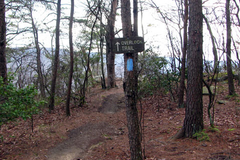
Blue blazes leading to the Overlook - .5 miles from Main Trail
The Overlook Trail (blue blazes) leaves the Virgin Falls Trail, climbs 100 feet, and then begins a long traverse under rock bluffs. After a switchback the trail works its way back to a weakness in the cliffs. At .35 miles from Virgin Falls Trail a ladder climbs adjacent to a drainage. From the ladder it is .15 miles to the Overlook. A camping site is located at the Overlook.
From the Trailhead it is 2.15 miles to the Overlook.
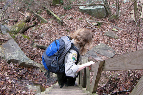
Ladder on the Overlook side trail - .35 miles from Main Trail & .15 miles to the Overlook
After enjoying the Overlook retrace the Overlook Trail to return to the Virgin Falls Trail. Note: the side trail's mileage is not included in the Virgin Falls mileage.
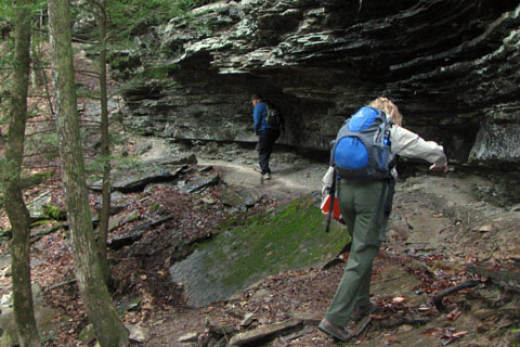
Small Cliff a short distance from the Overlook Junction
From the Overlook Trail Junction (1.65 miles) descend a short distance and the trail crosses beneath a small rock bluff.
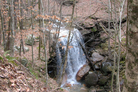
Big Laurel Falls - 2.30
Continuing the trail reaches Big Laurel Falls in another .65 miles or 2.30 miles from the Trailhead. A designated camping site is located near the falls.
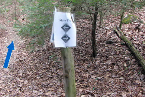
From Big Laurel Falls it is 1.10 miles to the next junction. The trail tees into the Virgin Falls Loop 3.40 miles from the trailhead. The falls may be reached in either direction; but going right is preferred.
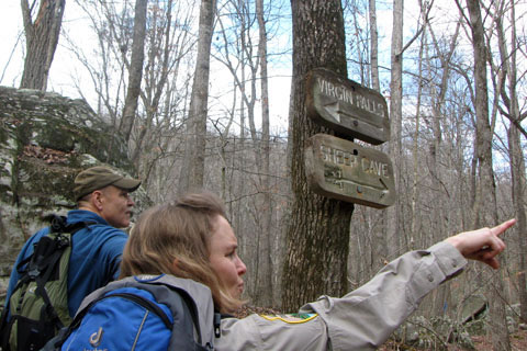
Sheep Cave Junction - 3.70 miles
From the Loop Junction it is .30 miles to Sheep Cave Junction.
Trail to Sheep Cave
At the Sheep Cave Junction it is only .15 miles round trip to visit the cave. It is a good side trip. Note: the side trail's mileage is not included in the Virgin Falls mileage.
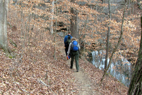
From the Sheep Cave Junction (3.70 miles from the Trailhead) it is .55 miles to Virgin Falls.
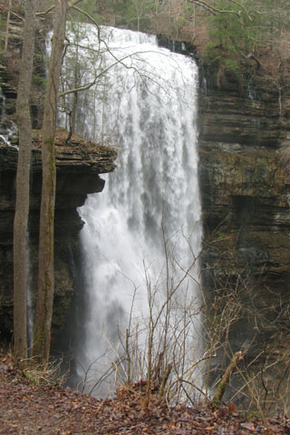
Virgin Falls - 4.25 miles
Virgin Falls is at 4.25 miles from the Trailhead.
Campsite
A campsite located near the falls.
No official trails go to the top of the falls.
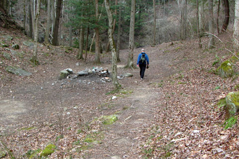
Steep ridge returning to the Loop Junction - 3.60 miles to the Trailhead
To continue on the Virgin Falls Loop Trail follow the blazes as the trail descends to the Caney Fork's bottom land. The trail does not go to Caney Fork. Instead, at .35 miles from the Falls, the trail climbs a steep rocky ridge.
In .20 miles the trail returns to the Virgin Falls Loop Trail Junction. Go right to return to the Trailhead. It is 3.40 miles and 700 feet elevation gain to return to the trailhead.
The total distance is 8.20 miles.