

Hidden Lake
Date Hiked: 01/10/10
Park: Harpeth River State Park
Address: Hwy. 70 Kingston Springs, TN 37887
Latitude: 36.08695, Longitude: -87.02497
Trail Rating: Easy, there is a hill to climb; but it is short
Round-Trip Mileage: 1.90 miles
Other Trails in the Park: Narrows of the Harpeth (Harpeth River State Park consists of many small; but important tracts of land.)
For Map, Trail Mileage, GPS, and Trail Notes go to Page 2
Pre-Hike Comments
While hiking trails at the Narrows of the Harpeth, a hiker we met highly recommended Hidden Lake. He claimed it was similar to trails in the Rockies. That was all we needed. A little research found that Hidden Lake was part of the Harpeth River State Park; but was only given a short comment on the Park's web site.
The Trail
Directions: Take Exit 192 (17 miles west of Nashville), McCrory Lane. Go north for .75 miles, cross the Harpeth River and the parking area is to the left (west).
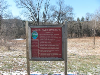
Trailhead Kiosk
The trailhead had ample parking; but the area is also used as a river access, mile 49.8 on the Harpeth River. The kiosk was divided between information for the River Trail and the Hidden Lake Trail.
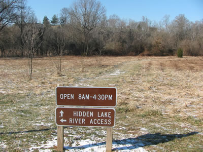
Trailhead Signs
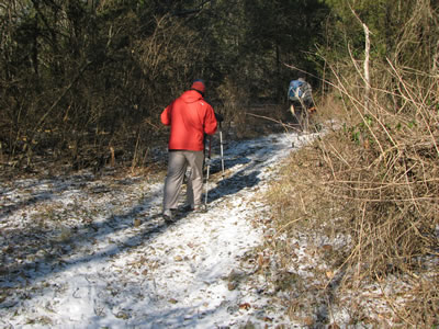
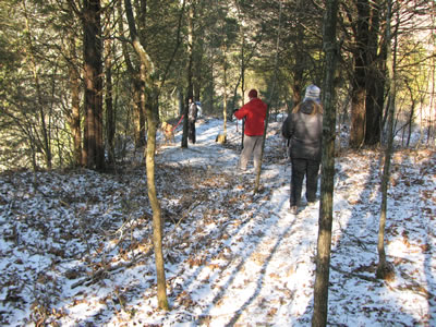
From the trailhead the trail leads across the field following a mowed path/road.
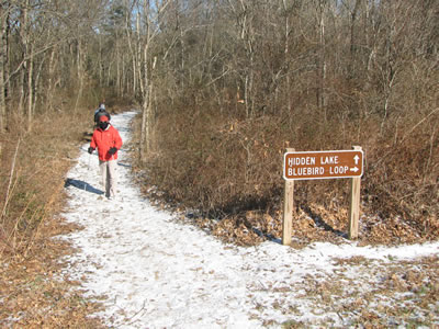
Junction with Bluebird Loop Trail
At .20 miles the trail comes to the first of several junctions. The Bluebird Trail branches off to the right and heads north.
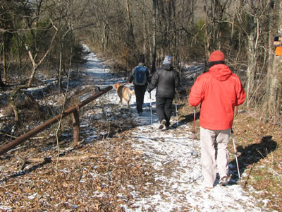
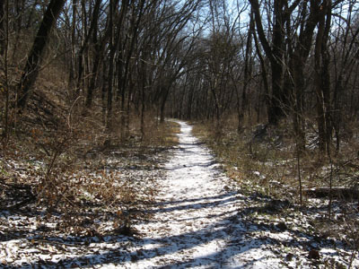
Trail going toward the Lake area
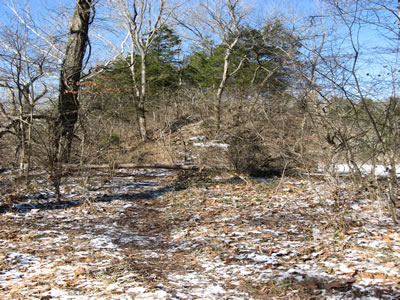
The trail leaves the field and follows an old road as it enters the forest. Remains of the former users of the land are evident.
At the second trail junction
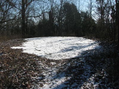
In .25 miles another junction is reached. Right - goes to the overlook. Left - goes to the lake.
Overlooking the smaller lake
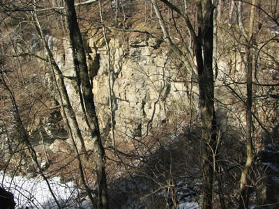
Going right to the overlook, the trail (road) climbs giving views of a small lake. At .05 miles an old building is to the left and a trail goes to the left. The trail is a shortcut, but steeper path to the overlook.
After turning left, the trail to the Overlook
Continuing straight on the road the trail comes to a tee after .15 miles. Straight - goes to the rim above the lake. Left - goes to overlook.
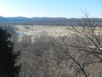
The big Overlook
Going left it is .15 miles to the top and the overlook. To the south is the Middle Tennessee Veterans Cemetery.
Anyone care to dance?
The remains of the dance floor is easy to find. It is the only flat surface - it looks like some form of pavement.
It is .80 miles from the trailhead to the overlook.
Leaving the overlook return on the same trail for .10 miles. A trail leave the road going left or west.
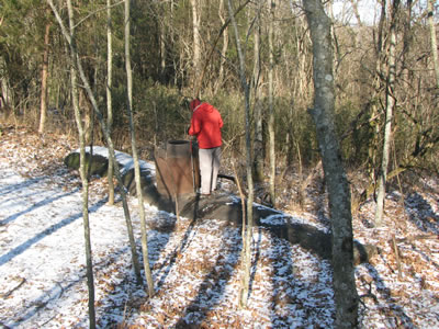
Large fuel tank, looks like a submarine!
The trail continues to descend as it passes a large fuel tank (not in use.)
Trail above the Lake
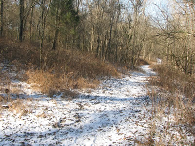
After descending a few hundred feet (distance) the trail begins contouring above the lake. At .10 miles a junction is reached.
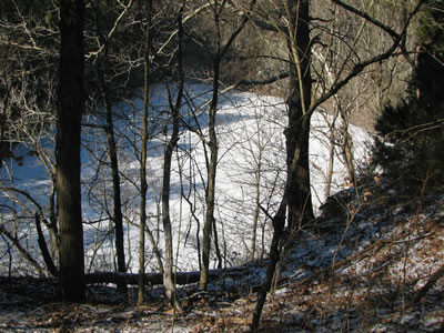
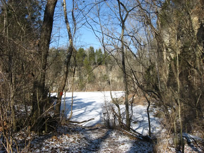
Our first view of Hidden Lake
Left - is an old dilapidated trail going down to the lake. Right - returns on the road to the tee. Straight - continues around the rim of Hidden Lake.
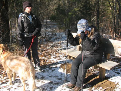
Junction and bench
Going around the rim the trail follows the western side to the south edge in .10 miles.
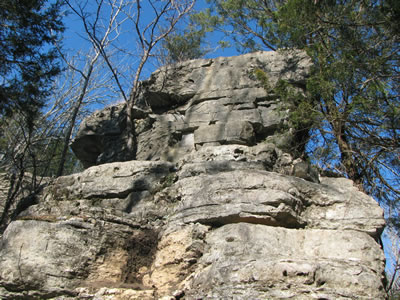
The trail descends beneath rocky rim
The trail is slightly hard to follow as it descends. It goes right for a few feet and then goes back left as it descends a few feet below the ridge.
Trail descending from the ridge. The lake is to the right.
The trail continues on a gradual descent to the lake.
Hidden Lake access
A road leaves the lake access giving an easy stroll for .20 miles to the junction just past the small lake.
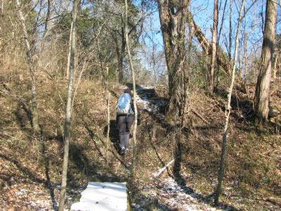
The trail back to the second junction
The small lake cannot be seen from the trail/road.
Trail up to small lake
Just before the junction, a trail branches to the left and climbs a short incline to access the small lake. There is a bench located at the lake.
From the junction, return on the trail/road for .25 miles to the junction with the Bluebird Trail. Go left to take the .25 mile loop around the field and back to the trailhead.
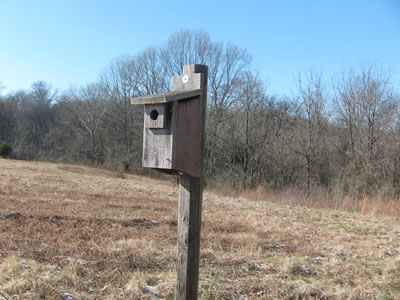
Bluebird Loop Trail resident