

Hidden Passage Trail - Pickett State Park
The Adventure Guide to Hidden Passage Trail at Pickett State Park includes a trail description of Hidden Passage Trail, photographs of the Hidden Passage Trail, comments from our hike, mileage data for the Hidden Passage Trail, the custom Park topo map, and Hidden Passage Trail GPS tracklogs. The guide will familiarize you with the Park and help you on your hike.
Date Hiked: 04/23/13
Park: Pickett State Park
Address: 4605 Pickett Park Hwy (154), Jamestown, Tn, 38556, 931-879-5821
Trailhead Latitude: 36.55857, Longitude: -84.79614
Trail Rating: Moderate
Round-Trip Mileage: 7.75 miles
For Map, Trail Mileage, GPS, and Trail Notes go to Page 2
Pre-Hike Comments
A couple of years ago we visited Pickett State Park and completed a map and trail guides for Hazard Cave, Lake, Lake View, and Island trails. We knew we had not completed all of the trails in the Park and planned to return. Our biggest omission to the Park's trails was the Hidden Passage Trail. We looked forward to finally completing the hike. Pickett is a good hikers park with connections to the State Forest and Big South Fork National Recreation Area.
The Hike
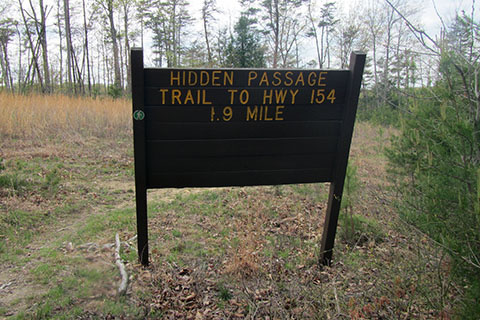
Directions: Take Highway 127 north from I-40 to Jamestown. Turn right at Hwy 154. It is about 12 (curvy) miles to the Park entrance. Turn left into the Park, the Park Office is to the right for information. Continue on Hwy 154 for almost .60 mile to the trailhead on the right. The trailhead is marked with a sign.
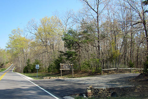
The trail starts near the kiosks at the end of the parking area.
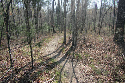
Leaving the trailhead, the trail passes through a wooded section and then under the first set of power lines.
After the power lines, the trail descends then follows the contour of the creek reaching a junction at .45 mile. Hidden Passage Trail is a lollipop - one section of trail that leads to a loop, on returning the first section is repeated. At the junction go right to Hidden Passage.
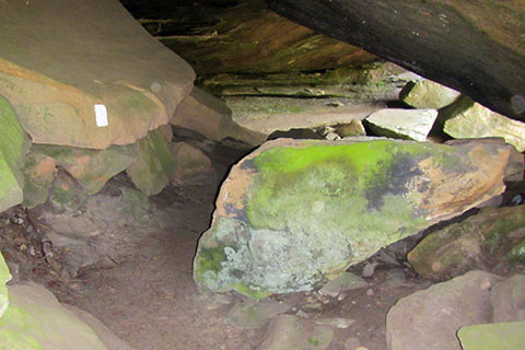
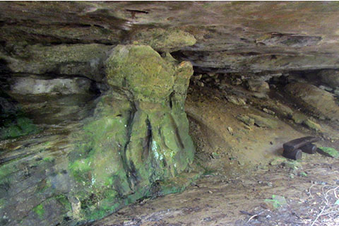
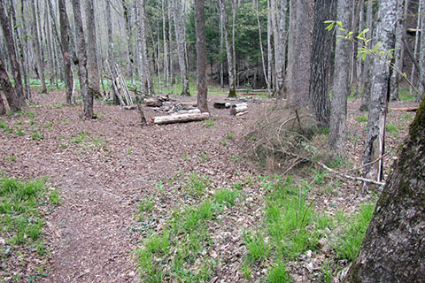
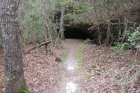
Leaving the junction the trail continues to a large rockhouse. Pass a bench and follow the footprints to the actual Hidden Passage. The path is marked with a white blaze.
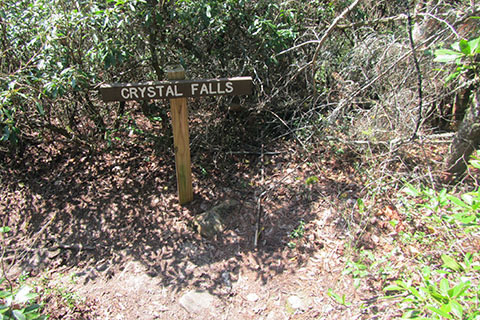
At .15 mile from the start of the loop the trail reaches the Crystal Falls Junction.
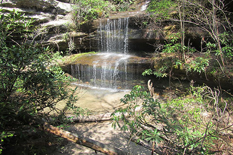
The Falls is a few hundred feet down the side trail.
Continuing from the junction, the trail climbs a bit and crosses over the creek that feeds Crystal Falls.
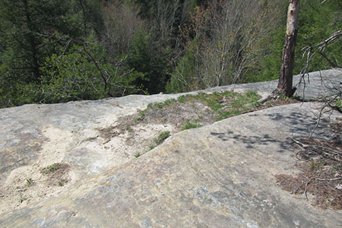
After the trail wanders through the ravines for over a half of a mile, it crosses the top of an exposed sandstone cliff. A good viewpoint of Thompson Creek is 1.15 miles from the trailhead and .70 mile from the start of the loop.
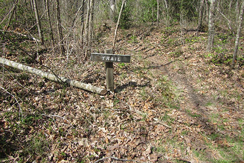
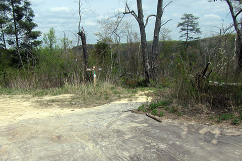
Leaving the overlook the trail reaches a road crossing after .25 mile. A trail sign gives hikers direction.
From the road crossing the trail seems as if it is going directly toward the power line crossing (as seen in the winter months), but then the trail contours away. The trail heads north to a significant rockhouse and then finally reaches the power lines .65 mile from the road crossing and 2.05 miles from the trailhead.
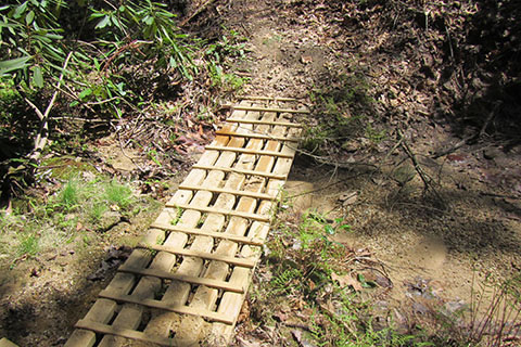
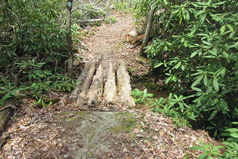
At .75 mile from the power lines, the trail crosses a small creek and at 1.40 miles the trail reaches a rockhouse and crosses another creek on a unique wooden bridge.
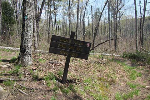
At 3.85 miles (from the trailhead - .40 mile from the wooden bridge under the rockhouse) the trail reaches the junction with the Double Falls Trail.
Many overnight trip hikers take the side trail to a camping area near Thompson Creek. The trail descends 200 feet in .45 mile to reach the camping area.
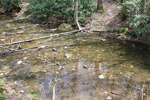
Just beyond the camping area the trail to Double Falls crosses the Thompson Creek. In low water stepping stones might provide a dry crossing but in higher water levels it would require either fording or finding a tree to cross.
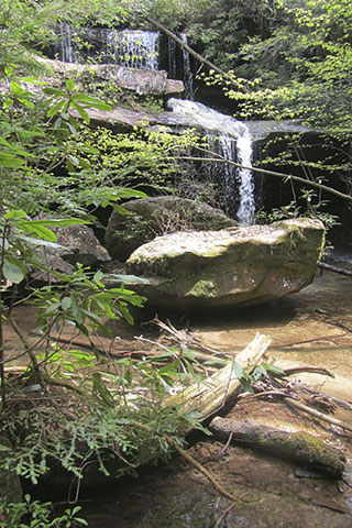
Double Falls is .30 mile from the creek crossing or .75 mile from the Hidden Passage Trail. Return to the main trail by reversing the route.
Back at the Double Falls Trail - Hidden Passage Trail junction continue on the main trail to Thompson Overlook.
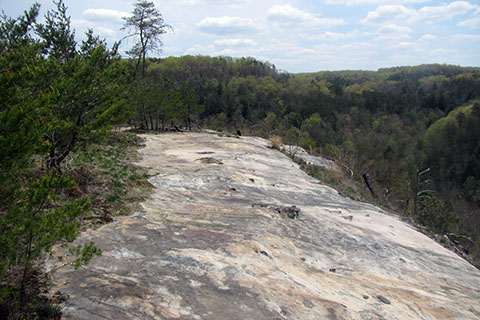
At 4.20 miles from the trailhead the trail reaches Thompson Overlook. The viewpoint looks out over the Thompson Creek drainage.
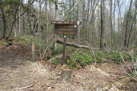
Leaving the overlook, a trail sign indicates the path's direction.
From the overlook the trail goes down hill and then contours to the west. The trail follows the rim of a rockhouse below. At .40 mile from the Thompson Overlook, the trail crosses a creek on a log bridge.
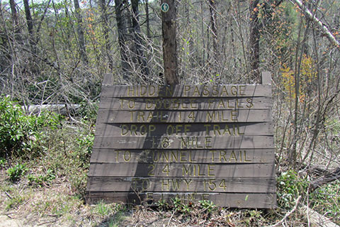
The Dropoff Trail Junction is a short distance beyond the bridge. The Dropoff heads to the right, the main trail stays left.
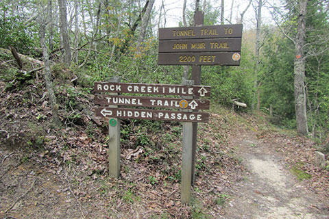
At .55 mile from the log bridge/Dropoff Trail Junction, the trail reaches a side trail to the Tunnel. The Tunnel was originally built for a railroad. The side trip drops below the rim and descends over 200 feet to the Tunnel and the banks of Rock Creek in .45 mile. It is an interesting walk.
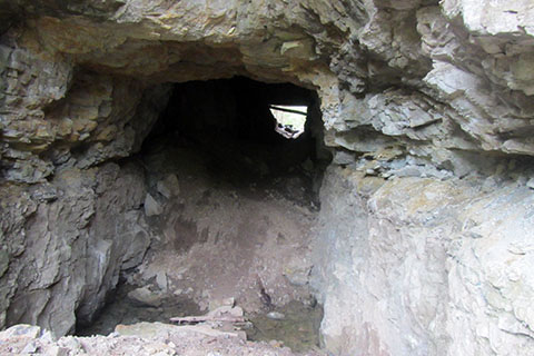
Passing through the Tunnel leads to an overlook - the trail ends. Reverse the route to return to the main trail.
Back at the Tunnel Junction, the trail climbs moderately and then continues on the west side of the loop. The forest provides a shaded path. At .5 mile from Tunnel Junction, the trail crosses an old road. The trail then arrives at the power line crossing in .15 mile. The trail loses a bit of elevation as it crosses the easement. The power line crossing is 5.80 miles from the trailhead - 1.95 miles to go.
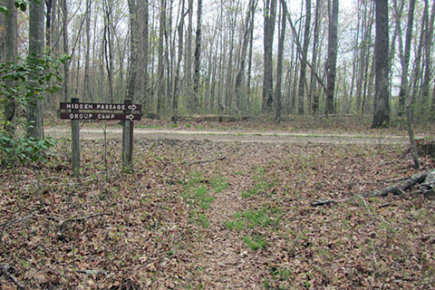
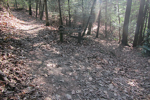
As the trail continues in a southerly direction, it crosses the top of cliffs, but it did not offer any good views. At .45 mile, the trail reaches the dirt road. This is the same road that went to Thompson Overlook. No vehicles are allowed on the road. Turn right and join the road.
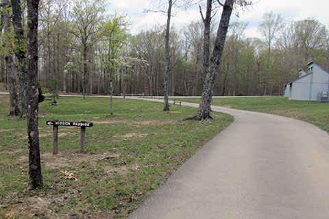
After .10 mile the road reaches a volley ball court and maintained fields of the Group Camp. The dirt road joins a paved road in the Group Camp. Continue following the now paved road. The paved road loops through the camp. The Hidden Passage Trail departs from the road at a sign. The junction is close to the start/finish of the Group Camp paved road loop.
Back in the woods, the trail circles on the rim above a small alcove. A mini-arch is crossed before the trail descends to the small rockhouses. It is .70 mile to return to the original Loop Junction. Bare right, and return to the trailhead in .45 mile. Remember there was a short climb.
The total distance for a round trip was 7.75 miles without side trips.