

Warner Woods Trail, page 2
Trail Notes
The trail is ususally started from either the Deep Well Trailhead or at the end of Belle Meade Blvd.
From Belle Meade Blvd, park at the entrance and climb the steps up the hill. Cross the road at the top of the stairs and use the short connector path to access the trail. It is .20 miles to the start of the Warner Woods Trail.
Lock your vehicle and do not leave valuables in the car. It is sort of like feeding the bears, if you feed the bears, they keep coming back for more. If you feed the thiefs, they will keep coming back too!
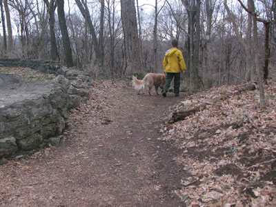
The trail is marked with white blazes. Most folks refer to it as the white trail instead of Warner Woods.
The trail was very wet when we walked it.
The Buggy Bottoms area should maybe be called Soggy Bottoms instead!
Sadly, many folks do not want to get their feet muddy, so they have started new trails to the side of the main trail. If you do not want to get your feet muddy, don’t hike in wet conditions. If you come to an unexpected wet trail and can’t cross it, you can always turn around! The wet section of the trail can be bypassed staying on the main Park Road.
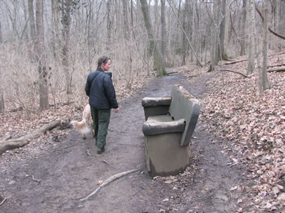
We only saw four hikers on the trail. Many more folks were using the roads. During the summer months the trail sees more use.
There was no litter.
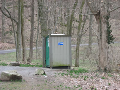
There is a privy but no water at the trailhead.
The hike is rated as moderate. It takes about an hour to walk and has a couple of fun hills.
Loop Trail Mileage
.00 to .10 Deep Well Trailhead to Tee
.10 to .20 Tee to start of Loop
.20 to .85 Loop over Farrell Road to crossing Park Road
.85 to 1.90 Road crossing down to Buggy Bottoms and back to another road crossing
1.90 to 2.05 Road crossing to junction with the Allée Trail
2.05 to to 2.45 Trail junction to road to Lea’s Summit crossing
2.45 to 2.60 Road crossing to end of loop
2.60 to 2.70 Loop to Tee
2.70 to 2.80 Tee to Deep Well Trailhead
Map Link
The link opens in a new window.
Percy Warner Park Trails - pdf
Warner Parks Trails (large map) - pdf
GPS
Control Click or Right Click for download.
Warner Woods Trail in Text Format - wWoods.txt
Warner Woods Trail in GPX Format - wWoods.gpx
Warner Woods Trail in KML Format - wWoods.kml