

Eagle Point Overnight Trail - Mousetail Landing State Park
The Adventure Guide to Eagle Point Overnight Trail at Mousetail Landing State Park includes a trail description of the Overnight Trail, photographs of the Overnight Trail, comments from our hike, mileage data for the Overnight Trail, the custom Park topo map, and Overnight Trail GPS tracklogs. The guide will familiarize you with the Park and help you on your hike.
Date Hiked: 03/28/13
Park: Mousetail Landing State Park
Address: Rt. 3 Box 280B, Linden, TN 37096 (or 3 Campground Rd)
Trailhead Latitude: 35.65595, Longitude: -88.00536
Trail Rating: Moderate
Round-Trip Mileage: 8.4 miles
For Map, Trail Mileage, GPS, and Trail Notes go to Page 2
Pre-Hike Comments
An online friend suggested that we hike the trail and sent his GPS tracks. We had followed his suggestions before, he does make great suggested hikes. The trail is an overnight destination, but we were going to hike it as a day hike.
The Hike
Directions: From Interstate 40 (TN) take exit 143 to Hwy 13. Go south 20 miles to Linden. In Linden turn right (west) onto Hwy 100 (also known as Hwy 412 and Hwy 20). Go west about 11.5 miles to Hwy 438, turn right (north). Note - the turn is before the river. The Park is 2.75 miles to the north at a signed turn. The trailhead is on the right near a playground. The Park Office is in the cabin just beyond the trailhead.
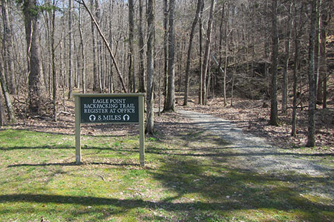
Parking is located near the trailhead. If planning for an overnight, hikers must register at the Park Office. Registration forms are available in front of the Office at a kiosk.
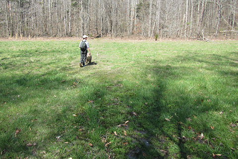
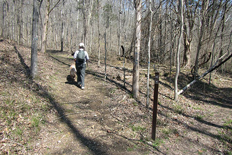
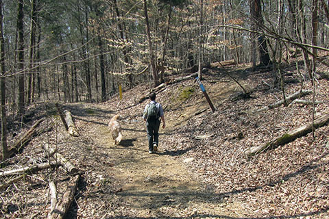
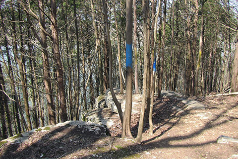
From the trailhead, the trail follows the creek a short distance before it crosses (on a bridge). Blue blazes are used to mark the Overnight Trail. The trail goes up a short climb before descending to the edge of a field. Cross the field (may be soggy) and look sharp for a blaze on the other side.
Cross Kelly Creek on a small bridge and climb to join an unimproved road. Kelly Creek crossing is .40 mile from the trailhead.
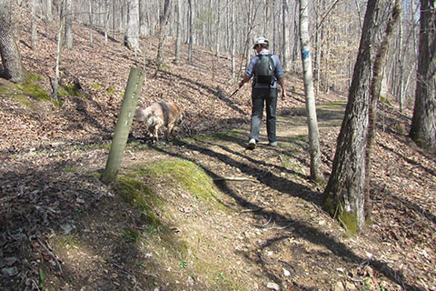
The trail follows the road for a short distance before it exits to the left, the beginning of the climb to Sparks Ridge.
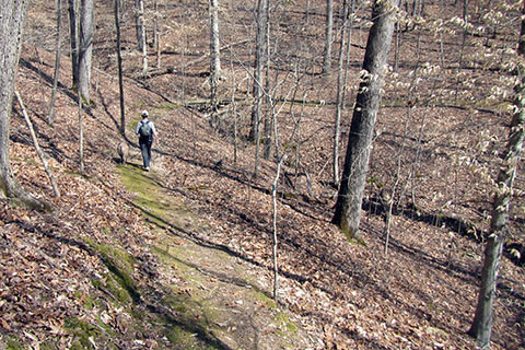
After a steady climb the trail contours deep into one of the ravines. The mossy trail crosses on a bridge at the apex and then continues to climb to the ridge.
Once at the top of Sparks Ridge the trail levels before descending toward Parrish Creek. Sparks Ridge is 1.10 miles from the trailhead and .70 mile from the bridge at Kelly Creek.
After a long descent (remember to save a little for the return climb) cross Parrish Branch. The bridge is .65 mile from Sparks Ridge and 1.75 miles for the trailhead.
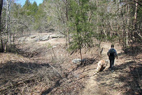
Cross another field. A steady climb leads to a cedar glade, a cedar forest growing on limestone outcroppings.
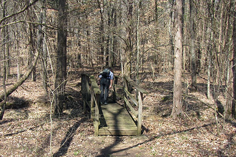
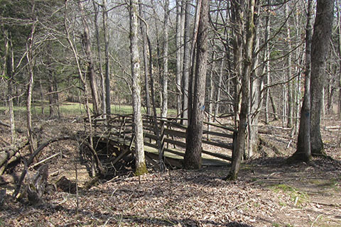
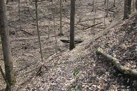
A Boy Scout bridge (built as a Scout Project) crosses a small branch.
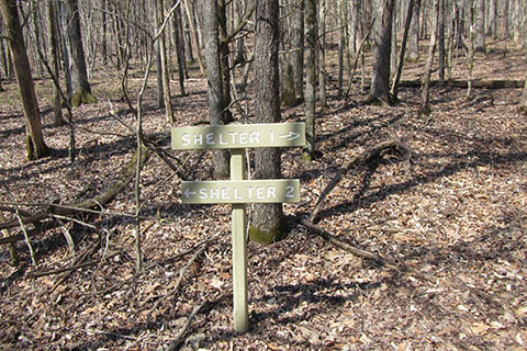
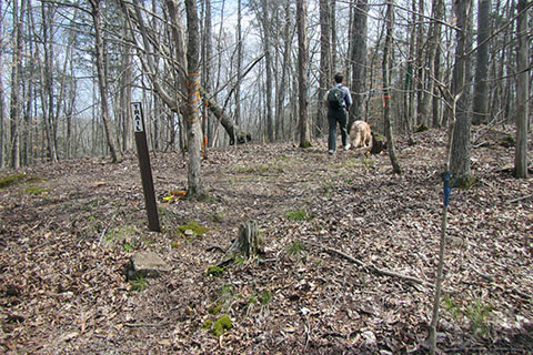
A junction is reached at 1.95 miles from the trailhead, .25 mile from the bridge over Parrish Branch. Shelter 1 is 1.10 miles to the right and Shelter 2 is .70 mile to the left. The trail is a loop. The description follows the trail to Shelter 2 or clockwise.
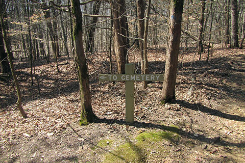
In .10 mile a side trail leads to Parrish Cemetery.
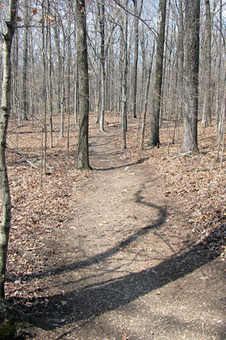
As the Overnight Trail travels west toward the Tennessee River it crosses, joins, and leaves two mountain bike trails several times. The Overnight Trail is well blazed and signed.
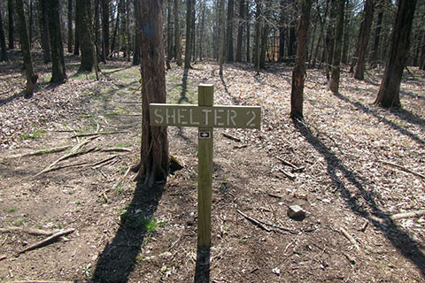
.60 mile from the Cemetery side trail Shelter 2 is reached. The side trail is 2.65 miles from the trailhead.
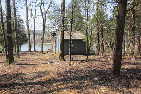
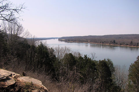
Shelter 2 overlooks the Tennessee River. If not overnighting, it is still a good place for a break. It is the best view of the river on the trail.
Returning to the trail, about .15 mile from the shelter is an outcropping of limestone. The mini bluff looks out toward the river, but the cedars are too thick for a good view.
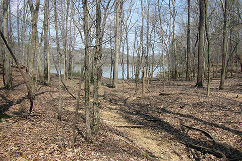
The trail nears the shore of the Lick Creek embayment. All water should be filtered and/or purified before drinking.
Following along the south shore of Lick Creek embayment, the trail tries to follow the contour of the land. A small bridge is reached at the back of one of the hollows. The is .75 mile from Shelter 2 - 3.40 miles from the trailhead.
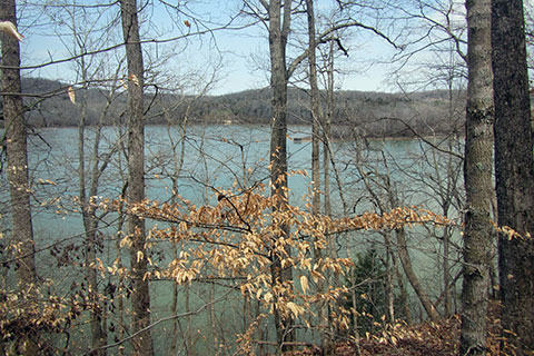
One of the great views of Lick Creek, about .30 mile from the small bridge.
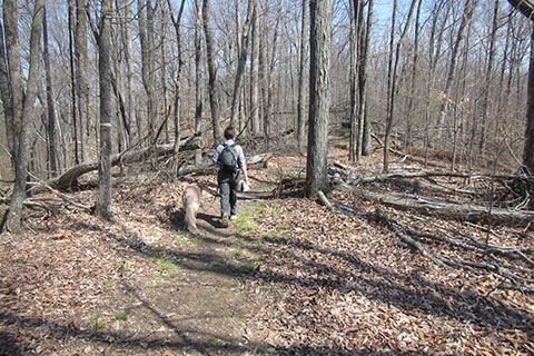
The trail continues east as the mountain bike trails cross the hiking trail several more times. Continue to follow the signs and the blue blazes.
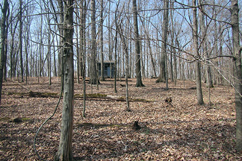
After traversing the slopes (but not without a few ups and downs) above Lick Creek for 1.35 miles the trail turns south and begins to climb. A few switchbacks eases the slope as it rises 250 feet in .60 mile. Shelter 1 is visible before the side trail is reached.
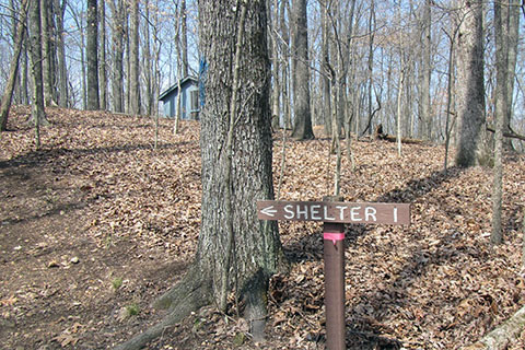
At the side trail, it is a worthy stop to visit the shelter. Shelter 1 is 5.35 miles from the trailhead and 2.70 miles from Shelter 2.
Leaving Shelter 1 the trail rolls along a gentle ridge for .75 mile before it descends to end the Loop back at the junction.
From Loop Junction it is 1.95 miles to return to the trailhead.
Total distance for a round trip is 8.40 miles.