

Lake Trail, Island Trail, Lake View Trail
Date Hiked: 03/17/11
Park: Pickett State Park
Address: 4605 Pickett Park Hwy (154), Jamestown, Tn, 38556, 931-879-5821
Latitude: 36.55012, Longitude: -84.80145
Trail Rating: Easy
Total Mileage: 3.10 miles
For Map, Trail Mileage, GPS, and Trail Notes go to Page 2
Pre-Hike Comments
I had hiked and run in the Park years ago; but remembered little of that day. We were impressed by the Hazard Cave Trail and were eager to walk the Lake Trail.
Post-Hike Comments
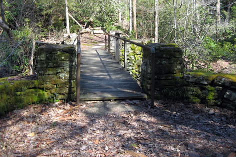
Directions: Take Highway 127 north from I-40 to Jamestown. Turn right at Hwy 154. It is about 12 (curvy) miles to the Park entrance. Turn left into the Park and follow the road past the CCC Museum and toward the Recreation Lodge. Continue to the picnic area and park. The bridge is a few hundred feet past the Recreation Lodge.
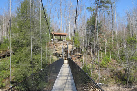
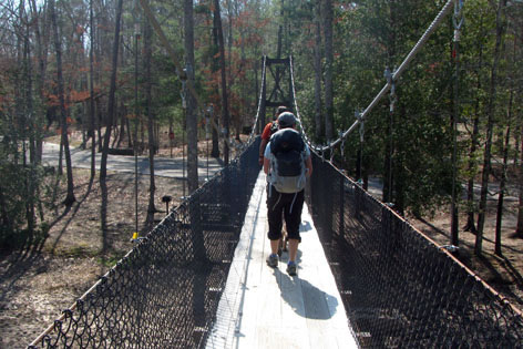
Suspension Bridge at the start of the Lake Trail
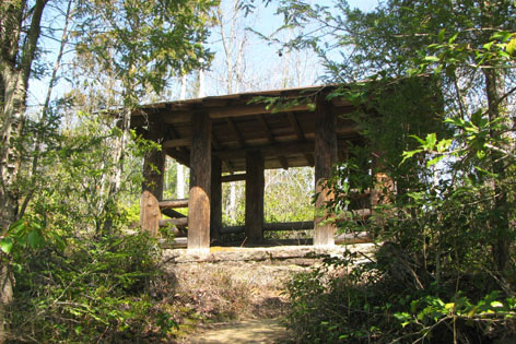
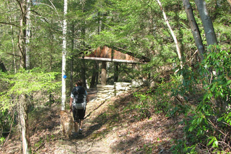
Cross the lake on the suspension bridge. On the north side of the lake, climb steps to the shelter and the start of the trail, .05 miles from the start.
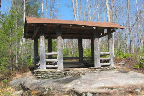
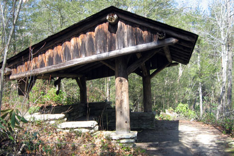
Shelter above the bridge
Two trails meet at the shelter. The Lake View Trail goes west or left. The Lake Trail goes to the right. Go right.
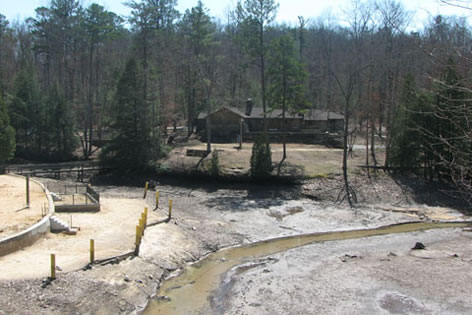
Overlooking the swimming area and the Recreation Lodge - .10 miles
In .05 miles is an overlook of the swimming area.
Note: there are many unofficial paths that connect to the Lake Trail. We tried a few and found they generally offered a view or a favorite fishing spot.
Overlooking Boat Dock
Another overlook is a short distance beyond viewing the boat dock.
Looking at shelter from in front, trail is behind - .55 miles
The trail heads mostly north as it follows the lakes contour; but some distance away. After .40 miles (from overlook) a shelter is downhill to the right.
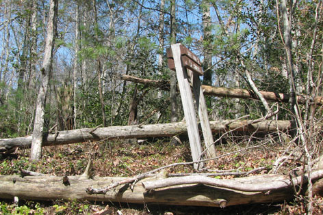
Turnoff for unofficial trail to dam - .60 miles
Leaving the shelter the trail crosses exposed rock in .05 miles. To the right is an unmarked, unofficial; but often used side trail that leads to the dam.
Bluff Trail Junction - 1.10 miles
Continuing on the main Lake Trail the Bluff Trail goes off to the left in .50 miles.
Thompson Creek - 1.15 miles
After the junction the Lake Trail goes downhill to the Lake's outlet, Thompson Creek. The bridge is .05 miles from the junction.
An easy climb leaves Thompson Creek and goes .10 miles to another junction. The Ladder Trail goes to the left.
A short distance beyond the Ladder Trail another shelter is to the left.
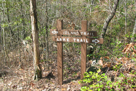
Island Trail Junction - 1.45 miles
In .20 miles from the Ladder Trail junction is the Island Trail junction.
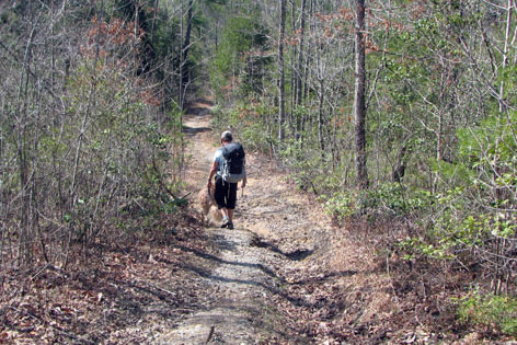
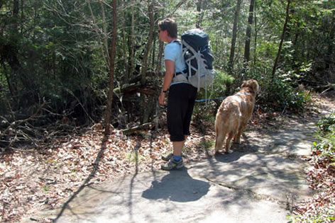
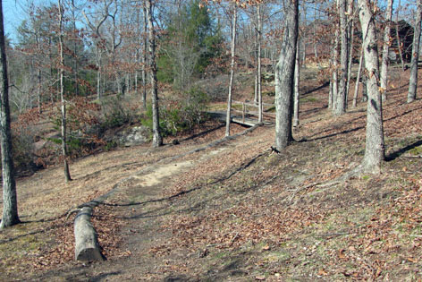
Going downhill from the Campground toward the Island Trail
Left goes to the campground. Right to the Island.
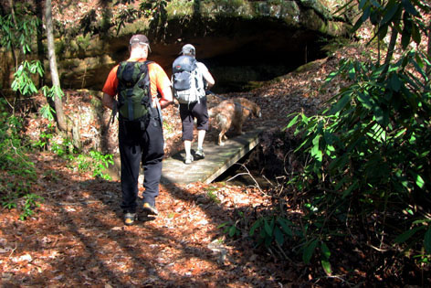
The island does not seem like an island; but instead it is more similar to an oxbow bend. Crossing on exposed rock, the Island Trail then makes a short loop. Going left the trail follows along the bend in the lake with good views.
Shelter on Island Trail - 1.65 miles
At .20 miles from the trail junction is another shelter.
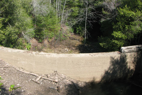
Dam from the Arch
From the shelter to the end of the loop is another .15 miles. The dam is visible to the east (left).
Another peculiar note is the exposed rock is actually a natural bridge or arch. When the lake is filled, the water cuts off the oxbow making it an island. The arch still spans to the island.
Returning to the junction, go right.
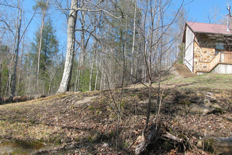
Pass below the chalets on a grassy slope
The trail passes the chalets in a few hundred feet and then descends via a drainage for twenty feet or so. Crossing the grass at the chalets the trail is hard to follow. Once on the trail below the Lake trail continues to the left or straight; but wait.
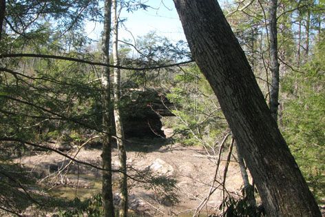
View of the Arch
Back to the right, is an unofficial trail that leads to a viewing of the lake and natural bridge or arch that leads to the Island.
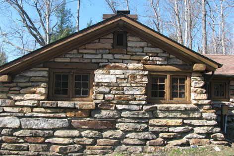
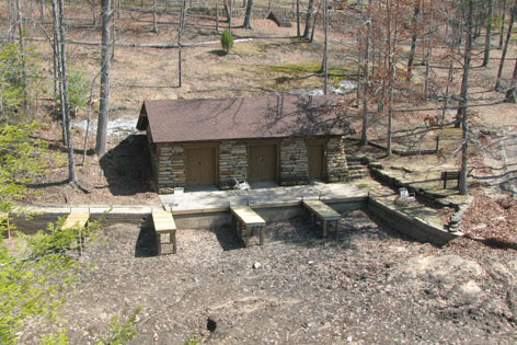
CCC Cabins - 1.95 miles
Continuing on the main trail the cabins are .15 miles from the Island Trail Junction.
Looking back at the trail crossing slopes below the cabins and above swimming and boating areas
The trail passes below the cabins and crosses a small bridge at a drainage. The trail gets lost in the grassy slope but it is an easy contour and any place to walk is as good as any other. Above the swimming area, the trail goes down steps and then off to the left.
Small bridge crossing drainage between the swimming area and the Recreation Lodge (image is crossing toward swimming area) - 2.10 miles
A bridge crosses a small drainage then the trail climbs a hill to a playground and the Recreation Lodge.
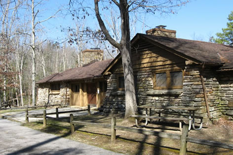
Recreation Lodge
Just beyond the Recreation Lodge is the suspension bridge and the loop is finished.
Lake Trail and Island Trail distance - 2.15 miles
Lake View Trail
To continue on the Lake View Trail. Walk around the Lake side (right) of the parking area.
For an alternative start, there is a trail that goes from the Recreation Lodge to the Lake View/Hazard Cave Trailhead. The trail is not a shortcut. Reach the trail by taking the Natural Bridge Trail directly across the road from the front of the Recreation Lodge. At the first junction go right. The sign directs toward "Shelter NO. 2". It is .35 miles to the trailhead.
From the suspension bridge it is .25 miles around the parking area to the trailhead. A restroom is passed near the trailhead.
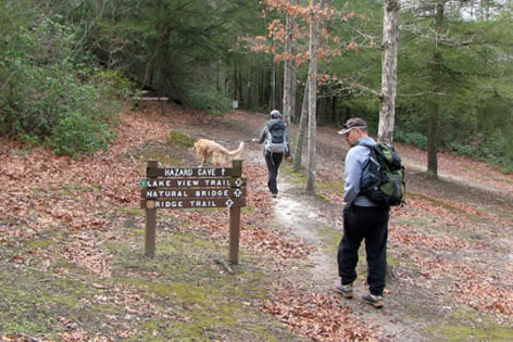
Trailhead - start of the Hazard Cave, Ridge and Lake View Trails - .25 miles
The trailhead is also used by the Hazard Cave and Ridge Trails. After a short distance the trail from the Recreation Lodge junctions on the left.
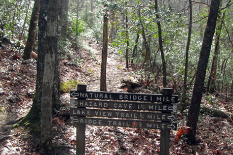
First junction, for the Lake view Trail stay to the right or straight
Enter the woods and go straight at the first junction, not left to Hazard Cave.
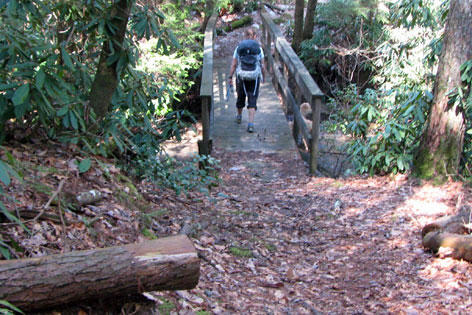
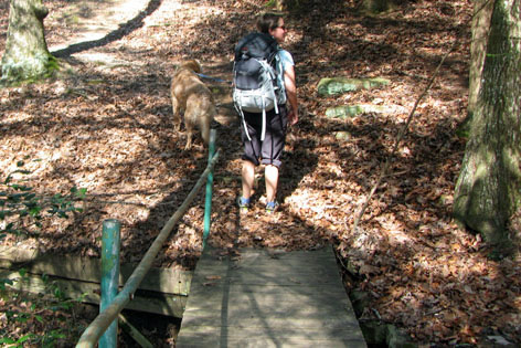
CCC Bridge - .35 miles
The trail winds downhill to an old CCC bridge and another trail junction. The end of the Hazard Cave and the start of the Ridge Trail goes left. Cross the bridge over Thompson Creek.
In a few hundred feet the return leg of the Ridge Trail enters from the left. Go straight.
Lake View Shelter - .50 miles
In .15 miles from the bridge is a shelter.
Crossing small bridge - .60
After the shelter the trail leaves the lake and heads into an alcove. The trail crosses a creek in .10 miles.
Returning to the contour above the lake the trail goes .30 miles to return to the shelter above the suspension bridge.
Returning to the parking Area - .90 miles
Go down the steps and re-cross the bridge to the end of the loop.
Lake View Trail distance - .95 miles
Total distance - Lake, Island, and Lake View Trails - 3.10 miles