

Henry Hollow Loop Trail, page 2
Trail Notes
The Park kiosk map is upside down! North is at the bottom of the page. That might not bother you, but it drove me crazy until I finally figured it out.
The trails were shaded by tree cover.
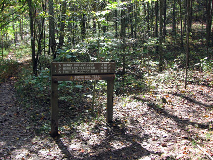
The trails were easy to follow with blazes and signage.
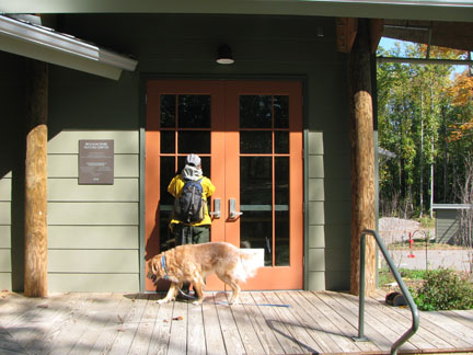
The climb from the Creekside Trailhead to the Ridgetop Trail was not overly difficult.
It would be a great hike to walk the trail along Henry Creek for an easier alternative to the Loop.
Loop Trail Mileage
.00 to .05 Creekside Trailhead to loop junction
.05 to .50 Loop junction to Ridgetop Trail
.50 to .80 Henry Hollow follows the Ridgetop Trail
.80 to 1.35 Trail descends left from Ridgetop to first switchback
1.35 to 1.5 From first switchback to second switchback and then to bridge and junction with Sedgehill Trail
1.5 to 1.95 Trail follows Henry Creek to loop junction
1.95 to 2.0 loop junction to Creekside Trailhead
To Add the Sedgehill Trail:
.00 to .35 Trail climbs from the bridge to the top of the hill
.35 to .60 Trail continues on level ground to the Nature Center
Total distance of the combined Henry Hollow and Sedgehill trails is 3.2 miles
Map Link
The link opens in a new window.
Beaman Park Trails - pdf
GPS
Control Click or Right Click for download.
Beaman Park Trails in Text Format - beamanPark.txt
Beaman Park Trails in GPX Format - beamanPark.gpx
Beaman Park Trails in KML Format - beamanPark.kml
Comments