

Cummins Falls State Park
The Adventure Guide to Cummins Falls State Park includes trail descriptions, photographs of the trails, comments from our hike, the custom Park topo map, and trail GPS tracklogs. The guide will familiarize you with the Park and help you on your hike.
Trail Data
Date Hiked: 19Mar2012 - updated 23Feb12
Address: 1225 Cummins Mill Road, Cookeville, TN 38501 (Entrance off of Blackburn Fork Rd)
Latitude: 36.2525, Longitude: -85.5660 (for Parking Area)
Trail Rating: easy to difficult (see below)
Round-Trip Mileage: 2 miles
For Map, GPS, and more go to Page 2
Directions
From Interstate 40, take exit 280. Follow Hwy 56 N toward Baxter and Gainesboro. Turn right (east) in 7.75 miles onto Hwy 290 - Old Gainesboro Hwy. Travel one mile and turn left (north) onto Cummins Mill Rd. In 2.1 miles the turn left onto Blackburn Fork Rd - the Park entrance is .20 mile on the left. Follow the gravel road for .50 mile to a gravel parking area on the right.
The Trails
During the last year, there have been some changes to the trails at Cummins Falls. A new trailhead has been established with access to the parking area.
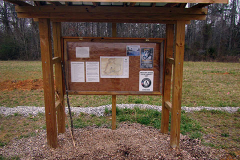
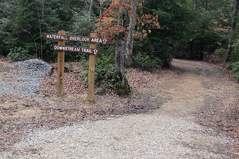
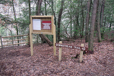
The trailhead is located on the west side of the parking area (left as you enter the parking area). Look for the trail kiosk.
Downstream Trail
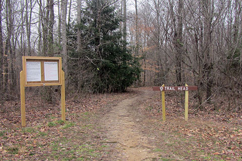
Pick up the trail near the kiosk and enter the woods.
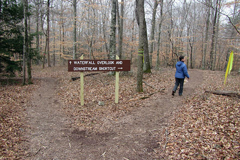
In .10 mile the trail comes to a Y. For the Downstream Trail - take the Shortcut Trail to the right.
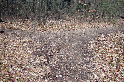
A short .05 mile brings the trail to an unsigned junction (as of 2/23/2013) with the Downstream Trail. To the left it is .30 mile to the end of the Falls Overlook Trail and to the right leads to Blackburn Fork Creek.
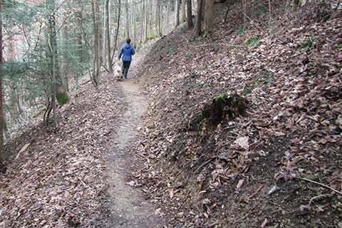
Turn right and follow the trail downstream for .25 mile to the Creek.
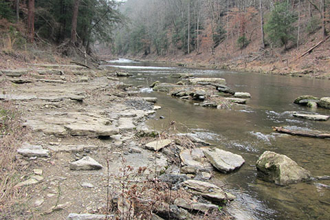
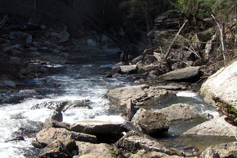
From the banks of the Blackburn Fork Creek it is possible to go upstream to the falls, but passage includes wading in the creek.
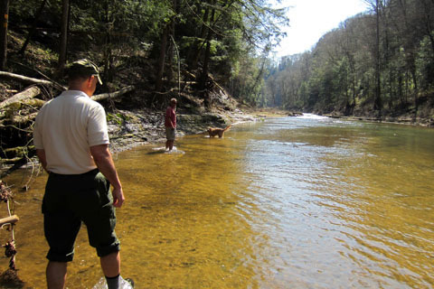
Do not attempt wading in high water. As always, use good judgment.
Falls Overlook Trail
Pick up the trail near the kiosk and enter the woods. In .10 mile the trail comes to a Y. For the Falls Overlook Trail, go left. In .15 mile the trail crosses a gravel road. Cross the road and enter the loop (a loop made by the gravel road).
After .10 mile the trail reaches and crosses the gravel road again. A trail sign points to the trail continuing toward the Overlook.
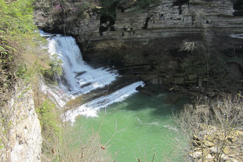
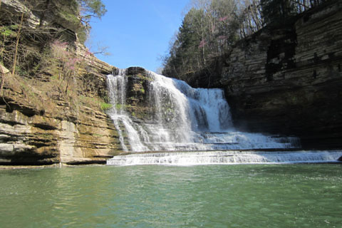
In .05 mile the trail comes to the Overlook. Please use caution and always stay away from the edge.
The trail continues for .05 mile to another exposed, fenced area. The Downstream Trail starts here. It is .30 mile to the junction with the Shortcut and .25 mile to the creek downstream.
Falls Route
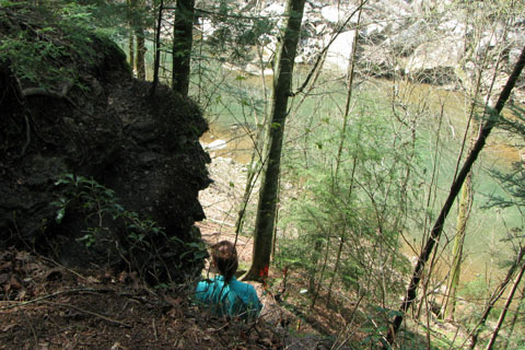
There is no trail to the base of the Falls. The Falls Route is indicated on the map, but it is unimproved. To follow the Route - descend the short sections of exposed rock, then contour toward the Falls. This route is not recommended.
Once level with the Creek, more scrambling will be involved to reach the base of the Falls. There could be uneven and slippery footing. Use your best judgment. The Route is .10 miles, one way, and is rated as difficult. The view from the Overlook is actually quite satisfying.