

Chickasaw State Park
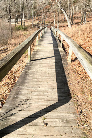
The following guide to Chickasaw State Park includes brief trail descriptions, photographs from the trails, notes from our hike, and a custom Park topo map.
Date Hiked: 14JAN16
Address: 20 Cabin Lane, Henderson, TN 38340
Latitude: 35.392669, Longitude: -88.770189
Trails Ratings: mostly moderate, but with short (100') steeper sections
Round-Trip Mileage: see map
For Map and Trail Notes go to Page 2
Pre-Hike Comments
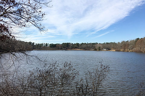
The centerpiece of Chickasaw State Park is the bridge that spans Lake Placid. When I arrived at the Park I discovered the bridge was temporarily closed (JAN2016). The bridge is scheduled for a complete rebuild. Even though I missed the chance to walk on the bridge, there were other attractions and plenty of trails that would make for a full day.
The Trails
The Lake Shore Trail makes a 1.8 mile loop around the Lake Placid. It is a fun easy hike suitable to anyone who can walk that distance. The trail offers many great lake view points. Cautions: 1) the trail uses the shoulder of the road to cross the levee (dam), 2) the trail is not well defined as it crosses the grass lawn near the Beach/Recreation Area - just follow the shore and regain the trail past the boat rentals.
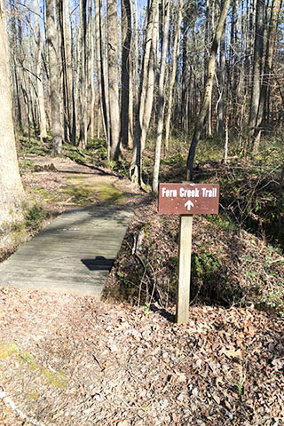
Fern Creek Trail begins at Brewers Cabin, the RV Campground, or in a field - across (and down a bit) from the stables. The trail makes a good short loop trail (.60 mile from Brewers Cabin) or may be used to connect the RV Campground to the west end of Lake Placid (.45 mile - one way - to Brewers Cabin).
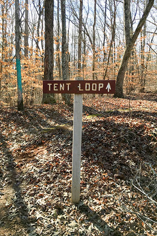
Tent Loop Trail combined with the Lake Shore Trail makes a loop around the Tent Campground in .80 mile. The moderate trail descends from a ridge, goes around the lake shore, and then climbs back to the ridge.
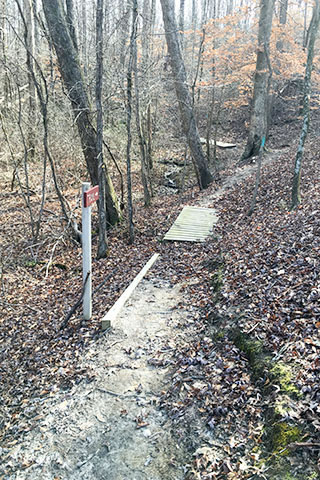
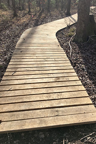
Owens Spring Trail starts on the Tent Loop Trail going east (right) from the road to the Tent Campground. At the first junction on the Tent Loop Tr, turn right and follow the Owens Spring Trail. For .80 mile the trail moves along the ridges and down to the wet lands of the spring. The moderate trail ends at a day shelter on the Lake Shore Trail. Turn left on the Lake Shore Trail for .20 mile to junction with the Tent Loop Trail. From the Lake it is .20 mile to return to the road even though it is easy to see other routes from the map.
Forked Pine Trail climbs sharply from the trailhead in the parking area across the road from the Beach area. The climb, like the others in the Park, is steep but short. At the top of the hill go left on the Forked Pine Trail and then right in a short distance. The trail roller coasters from ridge to ridge and then close to the Lake Shore Trail in .70 mile from the trailhead. Consult the map for options along the Lake. Continuing, the trail climbs back to the first junction and ends the loop. Turn left and downhill to the trailhead.
Friends Trail begins at the same trailhead as the Forked Pine Trail. The Friends Trail follows the Forked Pine up the hill, turning left at the first junction, and left again leaving the Forked Pine Trail at the second junction. For .55 mile the trail heads east following Hwy 100 as it rises and falls between the ridges. Turning south the trail begins an easy descent to the wet lands at the head of the Lake. The Friends Trail joins the Lake Shore Trail after 1.30 miles from the trailhead. From the junction with the Lake Shore Trail there are several options to return to the trailhead. Consult the map. To combine the Friends with the Forked Pine Trail, turn right on the Lake Shore Trail and right again on the Forked Pine Trail. Go left on the Forked Pine, climb to the top of the hill and then turn left and return to the trailhead with a total distance of 1.70 miles.
Tour de Park - it is easy to link all (or most) of the trails to create a tour of the Park. Consult the map, I found a great 4.5 mile loop.