

Bunkum Cave Trail
Date Hiked: 5/29/10
Park: Cordell Hull State Park
Address: 1300 Cordell Hull Memorial Dr
Byrdstown, TN 38549
Latitude: 36.58104, Longitude: -85.18353
Trail Rating: moderate
Round-Trip Mileage: 2.25 miles
For Map, Trail Mileage, GPS, and Trail Notes go to Page 2
Pre-Hike Comments
A friend of ours is the manager of the historic park. She asked if we would visit and walk her trail to Bunkum Cave. I went with Jon and Laura. The Park was celebrating the Cordell Hull Folk Celebration. It was the place to be!
The Trail
Directions: From I-40 take exit 288 and follow signs for TN Hwy 111, north toward Byrdstown. In about 40 miles Hwy 111 will cross Dale Hollow Lake. It is a little over two miles from the lake to Hwy 325. Turn left on Hwy 325 (Cordell Hull Memorial Drive). It is two miles to the Park. The Park is on the right side of 325; the trailhead is across the Hwy.
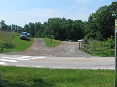
Trailhead Entrance from across Highway 325
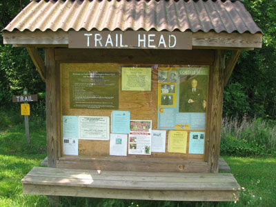
The trailhead has ample parking and an informative kiosk. Water and restrooms are located across the highway at the Park Office.
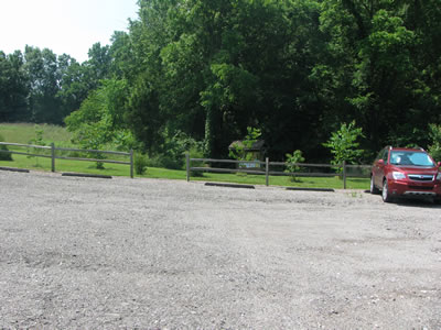
Trailhead Parking
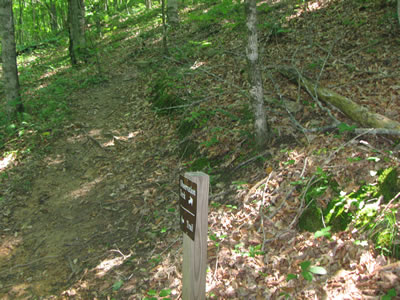
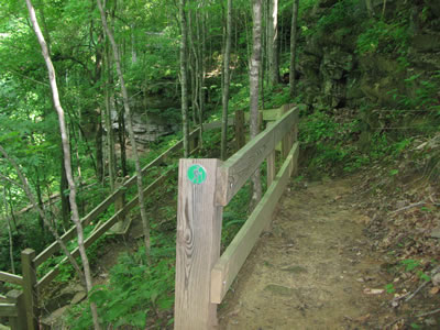
Green blazes mark the trail; but the path is very easy to follow with blazes or not.
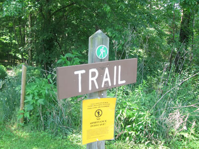
Green blaze icon
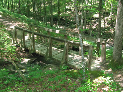
Leaving the trailhead the trail descends with two sweeping curves. As the trail levels it passes a bench, and crosses a drainage on a small bridge at .25 miles.
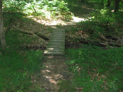
Small Bridge at .25 miles
A second larger bridge is reached in a tenth of a mile.
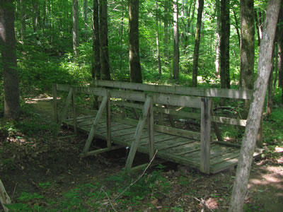
Larger Bridge at .35 miles
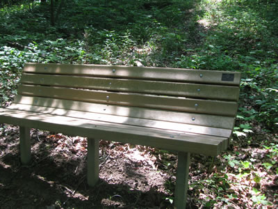
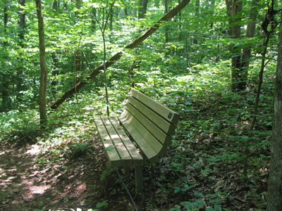
At a half of a mile a bench is reached. This is the second bench along the trail.
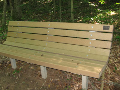
Half Mile Bench
The third bridge is located .60 miles from the trailhead.
Third Bridge at .60 miles
A tenth of a mile leads to the Overlook Junction. Go right to view the Overlook.
Overlook - .75 miles
The Overlook is a destination in itself. It is .75 miles from the trailhead. For your safety, do not cross the barrier fences.
Overlook Junction - .80 miles (after Overlook)
To continue on the loop, return to Overlook Junction and follow the "Trail" sign.
Bench past the Junction
At the top of a short climb a bench awaits. The trail continues as it contours along the rim above the Cave.
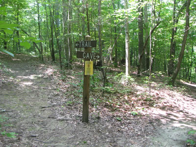
Cave Junction - .90 miles (1st time)
The Cave Junction is one tenth of a mile from Overlook Junction.
Switchback
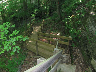
The trail to Bunkum Cave descends using a couple of switchbacks to the stairs.
Top of Stairs
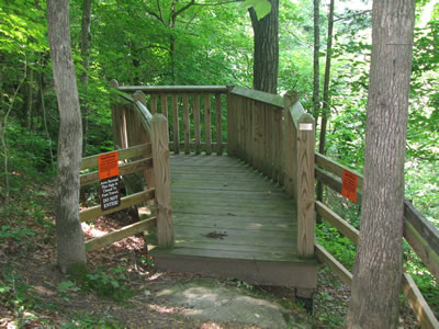
A great set of steep stairs make a safe descent possible. Please be aware of all restrictions before attempting to enter the Cave. Information is available at the Trailhead Kiosk, at the Park Office, and at the bottom of the steps.
Directed Walkway
It is but a short walk for the stairs to the mouth of the Cave. The Cave side trip adds a quarter mile, one way to the loop.
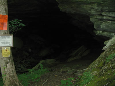
Mouth of the Cave - 1.15 miles
Returning to the trail, from Cave Junction continue to follow the "Trail" sign.
Cave Junction, again - 1.40 miles
The trail climbs to the eastern Park boundary. A fence marks the boundary location.
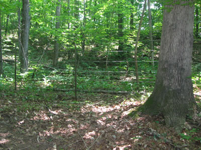
Fence Line
The trail follows close to the boundary back to the trailhead.
First bench past Cave Junction - 1.60 miles
Another bench is positioned .20 miles from Cave Junction.
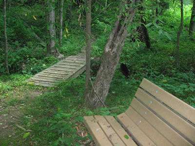
Bench with small bridge - 2.05 miles
From the bench the trail continues in a northerly direction for .45 miles to a small bridge with a bench nearby.
As the trail nears the trailhead the last bench is located .15 miles from the small bridge.
Leaving the last bench the trail leaves the forest and enters a field on a mowed path. Bearing left the trail continues .05 miles to the trailhead.
Return to the trailhead - 2.25 miles