

Long Hungry Ridge Trail - Gregory Bald
The Adventure Guide to Long Hungry Ridge Trail includes a trail description of the route from Twentymile Trailhead to Gregory Bald, photographs of the route including all three trails used, comments from our hikes, mileage data for the route, the Gregory Bald topo map, and Long Hungry Ridge Trail tracklog on a geo-pdf map. The guide will familiarize you with the Long Hungry Ridge Trail and the mountain, Gregory Bald. We hope the guide helps you on your climb.
Date Climbed: 10Jan14
Elevation: 4,949'
Range: Great Smoky Mountain National Park
Lower Trailhead Parking - Latitude: 35.4705,
Longitude: -83.87825
Route: Twentymile Trail, Long Hungry Ridge Trail, Gregory Bald Trail
One-Way Mileage: 8.5 - from Twentymile Trailhead to Gregory Bald summit
For Map, Geo-Map, Trail Mileage, and Trail Notes go to Page 2
Pre-Hike Comments
For years a friend of mine had spoken of hiking Gregory Bald and in particular using the hike as a training hike for the western mountains. I had never hiked the trails, but was excited about the possibilities.
The Route
Directions: Twentymile Ranger Station is located on Goggle Maps. The Ranger Station is located in North Carolina on Highway 28 in the southwest region of the Park. It is due south of Cades Cove, but Gregory Bald and a lot of other mountains block access. Twentymile Ranger Station is on the north side of the road between the junction of highways 129 and 28 (Deals Gap Motorcycle Resort) and Fontana Village. From the 129 and 28 junction it is about 3 miles to the turn off. The turn is well signed.
Registration: There are no registration requirements for day hikes (though hikers should still leave their plans with a reliable contact.) For backcountry camping, reservations (and a fee) are required. The self registration at the trailhead is no longer available. For more information contact the Great Smoky Mountain National Park - Backcountry Office - (865) 436-1297 - (hours, 8 to 5 Eastern).
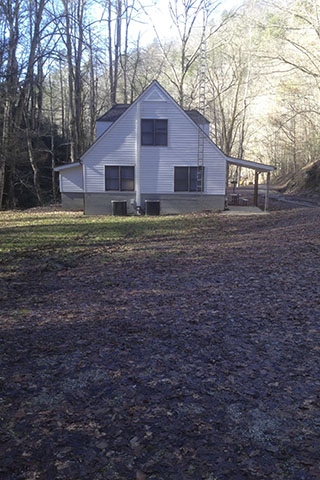
The Twentymile Ranger Station is a white house. Parking is available below the house near the trailhead kiosks and above the house closer to the road gate. An emergency phone is located on the porch of the Ranger Station near the kiosks. There are no other amenities. The elevation of the trailhead is about 1320 feet.
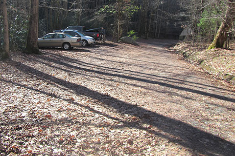
From the parking areas start hiking up the road.
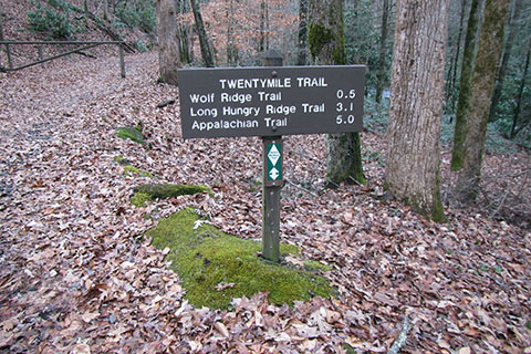
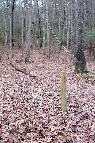
A trail sign is located just below the road gate.
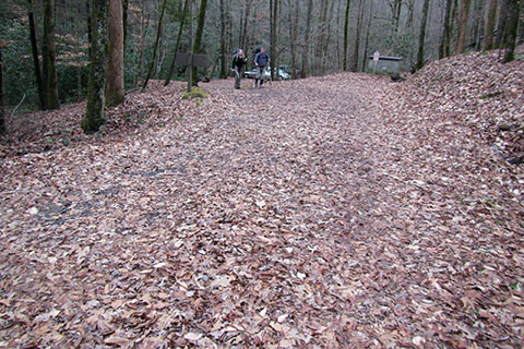
The road over the first half of a mile is an easy walk. It is not too steep and gives a good warm up.
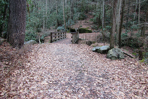
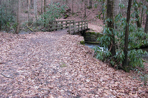
After climbing the first half of a mile is the first of many bridges. The bridge crosses Moore Spring Branch.
After crossing the bridge is the first trail junction. Twentymile Trail goes to the right. The path to the left is Wolf Ridge.
The road after the junction is a bit steeper. A short distance up the road is the Twentymile Creek Cascade side trail. The cascade would be a good, short, day hike destination.
After about 0.95 mile is the second bridge. Oddly, the crossing looked very similar to the first. The trail continues to the left.
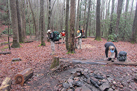
At 1.25 miles from the Wolf Ridge Trail junction (1.80 miles from the trailhead) is the Twentymile Creek Campsite, number 93. The site did not look very used. If arriving late to the trailhead, this would make a good site. The elevation is 1880 feet.
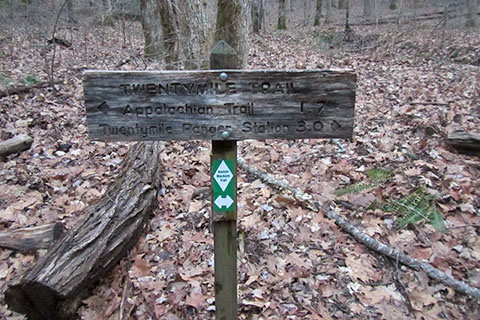
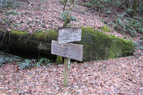
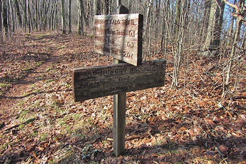
Continuing along the creek, the trail climbs steadily for another 1.30 miles to Proctor Field Gap (2340'). Three trails junction at the gap. The junction is 3.10 miles from the trailhead.
Twentymile Trail continues to the east (right) to the Appalachian Trail. Twentymile Loop Trail descends to the left (west) from the junction. It connects with Wolf Ridge Trail. Long Hungry Ridge Trail heads north. It is a good idea to double check the sign before departing the area.
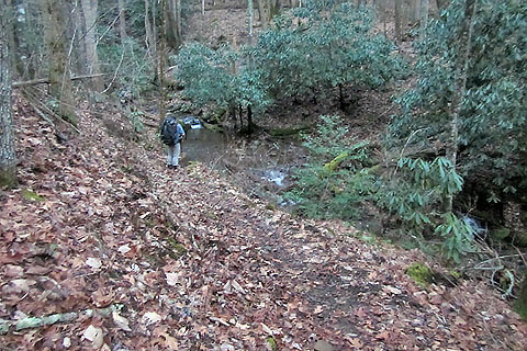
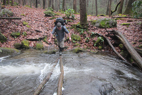
Shortly after leaving Proctor Field Gap on the Long Hungry Trail, the road is blocked by downed trees and overgrowth. To the left of the road the trail descends a steep few feet before leveling off and contouring to Proctor Branch, a feeder to Twentymile Creek. The trail crosses Proctor Branch without a bridge.
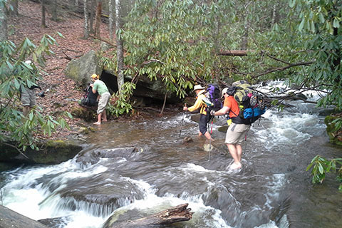
After crossing Proctor Branch, the trail rejoins Twentymile Creek and follows it to the Upper Flats campsite. The trail crosses a few other feeders of Twentymile Creek. The last crossing before Upper Flats may require fording, depending on the water level.
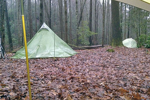
Upper Flats camping area is on the banks of Greer Creek at an elevation of 2520 feet. From the Twentymile Trailhead, the trails to Upper Flats climb 1200 feet in 4.25 miles.
There is a lower and upper camping area at the site. Pack hanging cables are at each area.
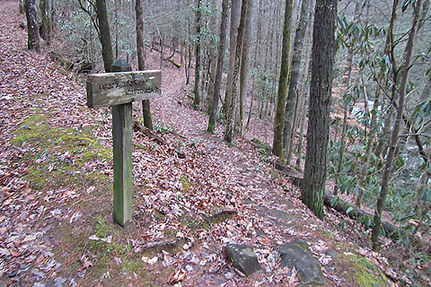
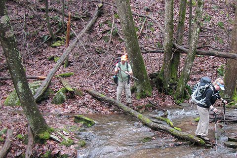
Leaving Upper Flats, the Long Hungry Ridge Trail crosses Greer Creek a short distance from the Upper Flats trail sign.
The trail continues to follow an old road as it climbs to Twentymile Creek, again.
At 0.25 mile from Upper Flats, the trail crosses Twentymile Creek. During the rainy season, the crossing will probably be wet.
The Long Hungry Ridge Trail finally leaves Twentymile Creek and climbs 0.40 mile to cross Rye Patch Branch.
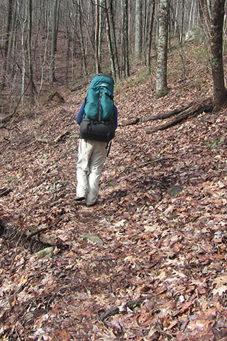
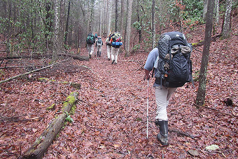
Climbing from Rye Patch Branch, the path became more trail-like.
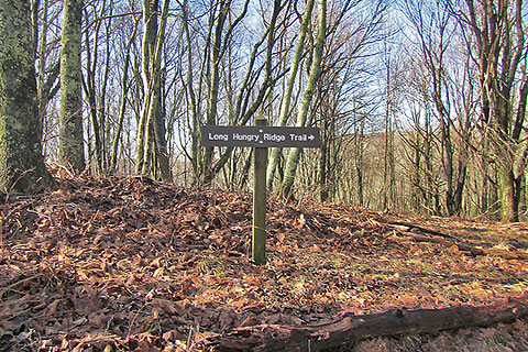
2.50 miles from Upper Flats campsite, the trail reaches Rye Patch. The location is signed. Rye Patch is on the crest of Long Hungry Ridge at 4,400 feet.
From Rye Patch the trail climbs 0.95 mile to the junction with the Gregory Bald Trail. Turn left, west, to finish the climb to Gregory Bald.
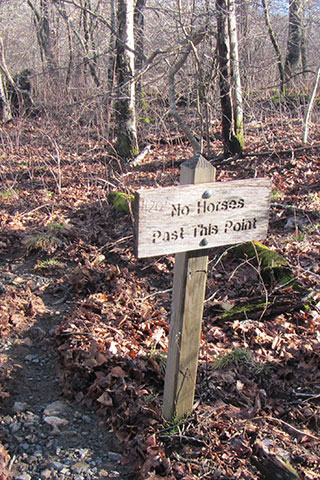
In 0.05 mile the Gregory Bald Trail reaches Rich Gap and the junction with the Gregory Ridge Trail which joins from the north. Rich Gap is 3.50 miles from Upper Flats.
At this junction, to the south is a small trail that leads to Moore Spring, a water source. The trail is marked with a "No Horses" sign and a carved H2O and arrow also on the sign.
From the junction the Gregory Bald Trail climbs very steeply over a knob.
After cresting the knob the trail reaches the next gap and another small side trail which goes to Moore Spring.
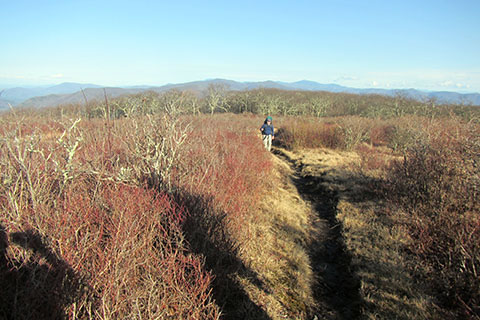
The final climb to Gregory Bald from the east is only a moderate slope.
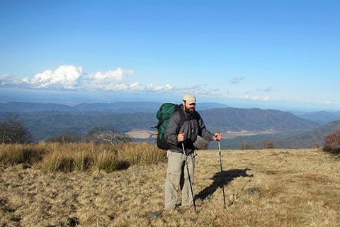
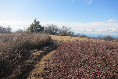
At 8.50 miles from Twentymile Trailhead, the Gregory Bald trail reaches Gregory Bald - elevation 4,949 feet. The Bald is 0.75 mile along the ridge from Rich Gap.
The large bald area has good views in all directions.