

Gregory Ridge Tr - Gregory Bald - page 2
Route Notes
The drive around Cades Cove is interesting, but it is not the place to be in hurry. I think the speed limit is 20 mph, but you'll never go that fast.
We were driving the loop just after 7 and it was already busy.
The Loop Road is normally open from sunrise to sunset.
On Wednesday and Saturday mornings the Loop is closed to motor vehicles. The bicyclists love it, but it makes getting to the Gregory Ridge Trailhead a bit difficult on Saturday morning.
The road re-opens at 1000 (AM) on Wednesdays and Saturdays.
There are no restrooms at the trailhead, but they are available at the Visitor Center (about half way around the Loop.)
Parking at the trailhead fills quickly, leaving late comers to park down the hill from the trailhead.
The trail begins at the trail sign in the parking area.
Gregory Ridge is designated as a hiking trail only.
Forge Creek is crossed three times. The first two crossings are on footbridges. The first footbridge had wire reinforcements for the handrail.
Forge Creek Campsite (#12) is in a good location. The sites looked well used.
The trail climbs after the campsite.
There is no water on the trail after Forge Creek.
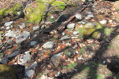
Water is available at Moore Spring located near Rich Gap. The trail is overgrown.
If connecting to the Gregory Bald Trail beyond the first knoll, do not cross the creek/spring. Instead, climb up the drainage on the Rich Gap side of the spring.
The azaleas are supposed to be spectacular on the Bald in June.
Sheep Pen Campsite (#13) is 0.40 mile beyond the Bald (to the west). If camped at Sheep Pen, it would be a worthy midnight stroll to visit the Bald.
The Gregory Bald Trail may be taken to Parson Branch Road to make a loop.
To return to the Gregory Ridge Trailhead via Gregory Bald Trail (4.50 miles) and Parson Branch Road (3.25 miles) it is about 7.75 miles total.
Parson Branch Road would not be much fun hiking if there was vehicle traffic on the gravel road.
Please practice minimum impact usage.
For Mountain Data and Route Guide
go to Page
1
Gregory Ridge Trail Mileage
0.00 Gregory Ridge Trailhead
0.40 First footbridge across Forge Creek
1.85 Second footbridge across Forge Creek
2.00 Forge Creek Campsite (#12)
2.50 Ridge Boulder (only boulder we saw)
4.00 Hollowed tree
5.00 Rich Gap - junction with Gregory Bald Trail
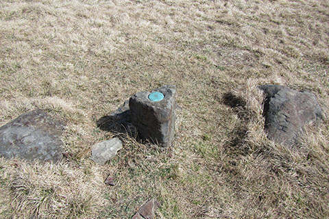
5.75 Gregory Bald summit
Map Link
The link opens in a new window.
Gregory Bald Map - pdf
Gregory Bald Geo Map - geo-pdf