

Twin Sisters Peak - Rocky Mountain National Park

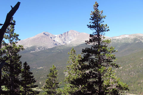
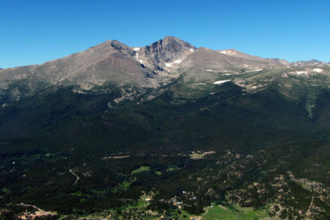
View of Longs Peak from the East Twin Sisters Summit
The Adventure Guide to the Twin Sisters Peak includes a trail description, photographs of the trails, comments from our hikes, mileage data, custom Twin Sister and Estes Cone topo map, and route GPS tracklogs. The guide will familiarize you with the area and help you on your hike.
Date Climbed: JUL11, JUN12, JUN13
Elevation: 11,413 & 11,428
Range: Rocky Mountain National Park, Front Range
Latitude: 40.30318, Longitude: -105.53467 (at the trailhead - 9,200)
Route: Twin Sisters Trail
One-Way Mileage: 3.5 miles one way from the Trailhead to the West Summit
For Map, Trail Mileage, GPS, and Trail Notes go to Page 2
Comments
We have climbed Twin Sisters Peak many times. It is a good outing. Any time we are visiting the area, we generally find an excuse to make the climb. Twin Sisters is not just a hike, the trail climbs above treeline to the peak of the Twin Sisters. The trail leads to the summit. During the summer, thunderstorms happen almost every afternoon. Leave early and be prepared. See more on Page 2.
The Climb
Directions: Twin Sisters Peak lays on the eastern edge of Rocky Mountain National Park (CO), just south of Estes Park on Highway 7. From the junction with Hwy 36, Highway 7 leads south as it climbs for 6.5 miles to Lily Lake (on the shoulder of Lily Mtn). As soon as the road levels out, the Lake is to the right and a parking area and unused Visitor's Center is on the left. This is a congested area. The Twin Sisters Trailhead access is on a dirt/gravel road to the left of the unused Visitor's Center parking area. The road that climbs the hill behind the parking area. The road is gated at .40 miles. Parking is on the right side of the road only. Overflow parking is in the Lily Lake area.
Privies are available at Lily Lake.
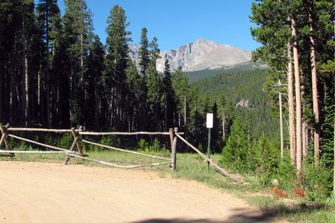
View from the parking
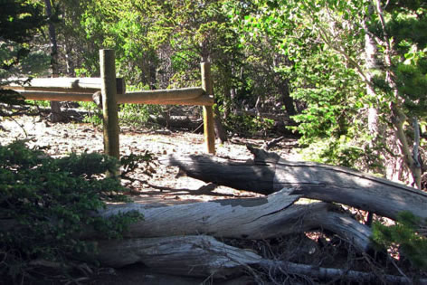
After parking, walk up the road and through the fence.
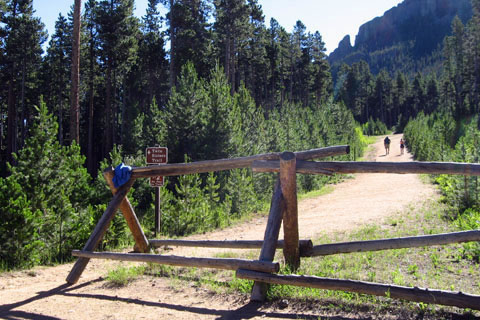
Fence blocking the road
Continue along the road to the trailhead kiosk to the left of the road.
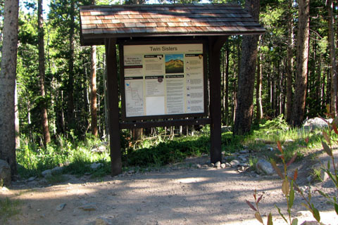
Trailhead kiosk
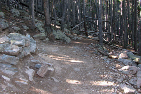
The first section of the trail is relatively new. The National Park acquired the land and relocated the trail to move it off private land.
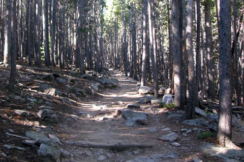
Trail near the start
Leaving the trailhead, the trail climbs through three switchbacks. At the third switchback, .45 miles from the trailhead, a faint unofficial trail goes uphill to the Crags, a rock climbing area. Stay on the Twin Sisters Trail as it traverses for .85 miles to join the old trail.
The one mile view
Along the traverse, an obvious overlook marks one mile from the trailhead.
Junction with the old trail, this is the first of ten switchbacks
After crossing on the long traverse, the next section climbs through a series of ten switchbacks. The first switchback is the junction with the old trail, 1.30 miles.
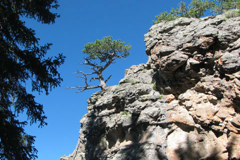
Rock outcrop
At the fourth switchback, 1.50 miles, a rock outcropping stands to the outside of the switchback.
Continuing through the almost uniform switchbacks, after the tenth one, at 2.25 miles, is a short series of switchback. The trail is not as steep as it nears the saddle between the Crags and Twin Sisters.
Hitching rails, just off the trail
After leaving the saddle at 2.50 miles from the trailhead the trail begins to climb again.
Close to treeline the trail passes the sixth switchback at .40 mile from the Saddle. As the trail leaves tree cover, check the weather for signs of thunderstorms, before crossing the open slopes.
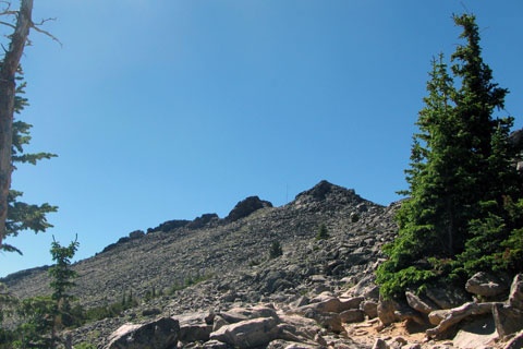
Above treeline
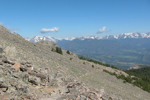
A good trail passes through the fields of rocks and boulders as it heads south towards the summit.
The traverse is interrupted by a couple of switchbacks after .25 mile then continues for .15 miles to a spot below the saddle of the Twin Sisters, 3.30 miles.
The final climb to the upper saddles follows short, steep switchbacks. It is 3.40 miles from the trailhead.
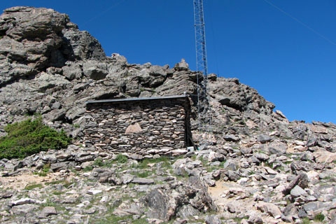
Stone building and tower
From the saddle the trail to the right, goes past an old stone Government building.
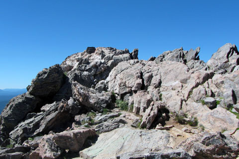
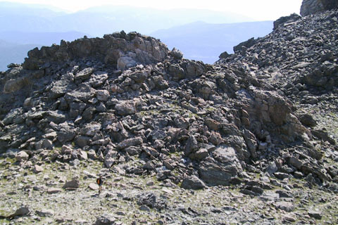
West Twin Summit
From the saddle it is only .10 mile to the summit of the West Twin Sister, elevation 11,413.
View from the summit
The views are great of Estes Park to the north, and Longs Peak and the Park to the west.
From the saddle, hiker heading around the bump and toward the
East Summit
From West Sister's summit looking across the saddle toward the east.
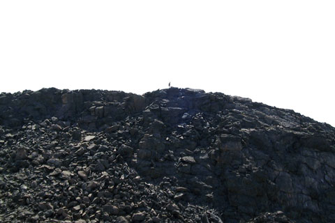
Hiker on the East Summit
The East Twin Sister sits slightly taller than the western sister.
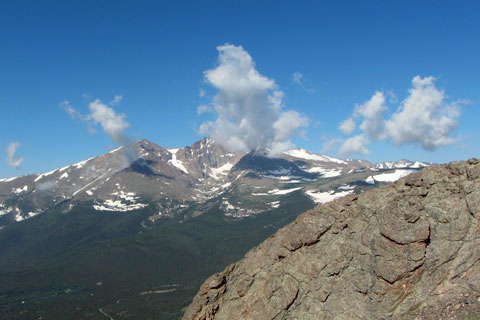
View of Longs from the East Summit
From the saddle look for a faint trail and rock cairns that lead to a bit of scrambling ant the East Twin Sister summit at 11,428.
Looking across the slope toward treeline
To descend, reverse the trail.
The overall distance from the trailhead to the western summit is about 3.50 miles and 3.55 miles to the eastern one.
Note: the mileage begins at the road barricade (to block vehicle access) It is about .10 mile to the trail kiosk from the gate.