

Laurance S Rockefeller Preserve and Phelps Lake Trails
The Adventure Guide to Laurance S Rockefeller (LSR) Preserve and Phelps Lake Trails includes trail descriptions, photographs of the trail, comments from our hikes, mileage data, custom Laurance S Rockefeller Preserve and Phelps Lake Trails topo map, and the Laurance S Rockefeller Preserve and Phelps Lake Trails tracklogs on a geo-pdf map. The guide will familiarize you with the Laurance S Rockefeller Preserve and Phelps Lake Trails system and the area. We hope the guide helps you on your climb.
Photos from: JUL13, JUL14
Elevation - Lake Phelps: 6,633'
Elevation - LSR Interpretive Center Trailhead: 6,400'
Range: Grand Teton National Park
LSR Interpretive Center Trailhead
Latitude: 43.62663, Longitude: -110.77496 (NAD27 12N)
Route: Lake Creek Trail to Phelps Lake Trail to Woodland Trail
Loop Mileage: 6.5 miles
Other Trails in the LSR Preserve: Aspen Ridge Trail, Boulder Ridge Trail, Connector, and Phelps Lake Trail between Lake Creek and Woodland Trails.
For Map, Trail Mileage, and Trail Notes go to
Page
2
LSR and Phelps Lake Trails Comments
For years while visiting the Tetons, I knew that the Rockefellers owned a large guest ranch at the east end of Phelps Lake. Phelps Lake was very scenic (I passed it many times on the west heading to Death Canyon), but I was really more interested in the mountains than the lake shore. Then in 2012, some friends of ours visited the LSR with a glowing report. Last year ('13) we finally made our first visit to the LSR. It was truly amazing.
The Route
Directions:
From the Teton Park Road, Moose, WY - take the Moose-Wilson Road south for about 3.70 miles to the LSR Preserve Road.
From Teton Village, WY - go north on the Moose-Wilson Road for about 4.30 miles to the LSR Preserve Road.
Limited parking is available near the Interpretive Center Trailhead. The parking is generally filled during the middle of the day.
From the parking area (restrooms available) cross the creek (on a bridge) and continue on a wide path toward the Interpretive Center.
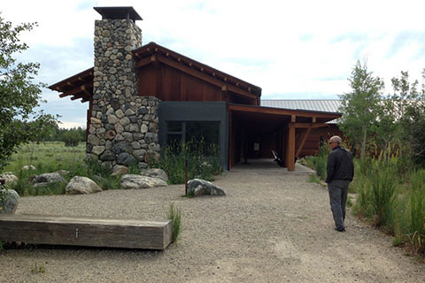
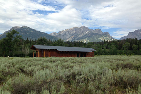
The Interpretive Center is worth a visit. Water, restrooms, and a trailhead kiosk are also in the immediate area.
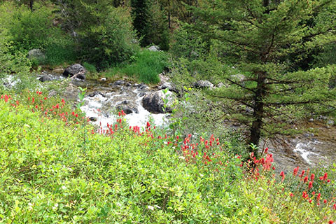
Starting at the Interpretive Center the path follows along Lake Creek in almost a natural garden like atmosphere. For those not wanting to hike the trails would still enjoy the overlooks that are built close to the Interpretive Center.
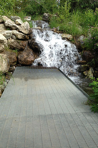
Just beyond the overlook is a small waterfall with a metal grated walkway that leads to the cascade.
At the bridge crossing Lake Creek (0.10 mile), the trail then becomes more of a hike. Note: this is also the junction with the Woodland Trail, returning from the Lake.
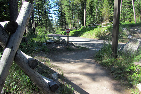
At 0.50 mile from the bridge, the trail crosses the Moose-Wilson Road. Use care crossing the road.
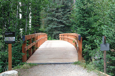
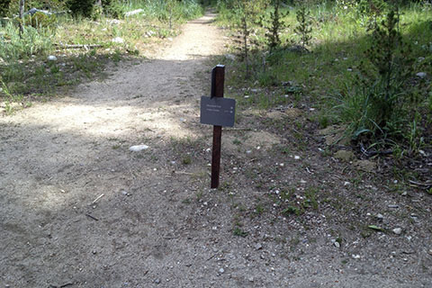
One tenth of a mile from the road crossing and 0.70 mile from the Interpretive Center the trail comes to a major junction.
An obvious path to the right (north) crosses a substantial bridge and leads to connect to the Woodland and Boulder Ridge Trails.
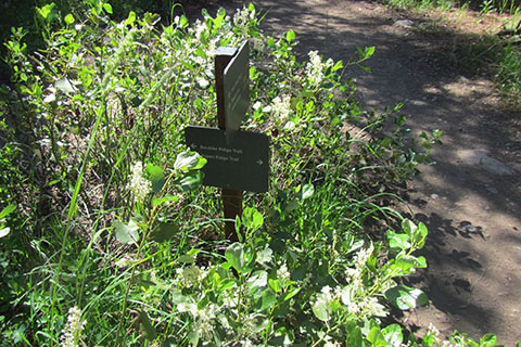
The Aspen Ridge Trail also uses the junction. The path goes left, but is not as obvious as the other trails.
The Lake Creek Trail continues straight.
Following Lake Creek there are good views of the creek.
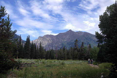
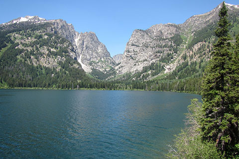
There are also good views of the mountains to the west of Phelps Lake.
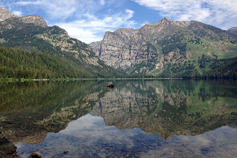
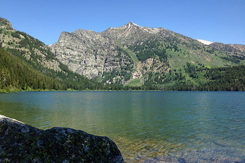
After 0.80 mile from the junction, the moderate trail reaches the shore of Phelps Lake and a grand view of Death Canyon and Albright Peak. The viewpoint is the start of the Phelps Lake Trail. The viewpoint at the lake shore. is 1.50 miles from the Interpretive Center
The area has several benches and even a nearby restroom.
To return to the Interpretive Center, either reverse the route taken or follow trail signs to the Woodland Trail (to the right.)
To continue around the lake follow the Phelps Lake Trail (to the left) heading toward Huckleberry Point.
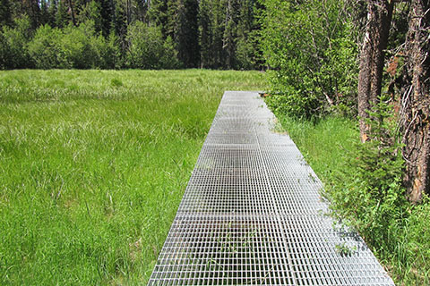
From the start of the Phelps Lake Trail, it is a short distance to a metal grate raised walkway that crosses a bog of grass.
In 0.60 mile from the start of the Phelps Lake Trail the trail reaches the junction with the Huckleberry Point side trail. The junction is 2.10 mile from the Interpretive Center Trailhead.
Huckleberry Point is a great destination. It is 0.10 mile from the trail junction. The extra mileage is not included in the overall route distance, though most folks take the optional side trip.
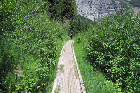
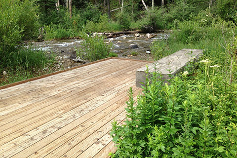
From the Huckleberry Point side trail junction, a boardwalk crosses another wet bog at 0.60 mile. 0.15 mile after the boardwalk the trail begins a steady climb toward the Valley Trail Junction.

The Valley Trail is reached at 0.95 mile from Huckleberry Point side trail junction, 1.55 miles from the start of the Phelps Lake Trail, and 3.05 miles from the Interpretive Center. The Valley Trail runs along the eastern foothills of the Teton Range from Teton Village to the north shore of Leigh Lake. Sections of the Valley Trail are very important for linking together loop hikes. The Phelps Lake Trail uses a short section of the Valley Trail to complete it's loop.
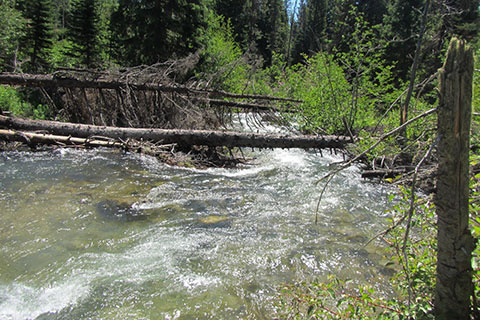
Turn right on to the Valley Trail. After 0.35 mile the trail crossed in inlet stream to Phelps Lake.
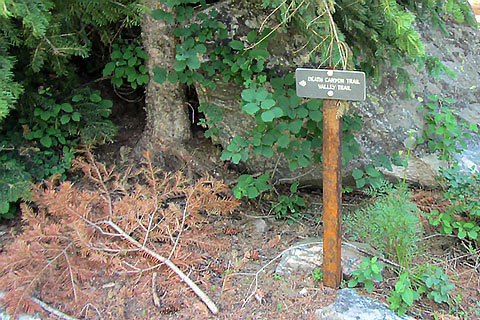
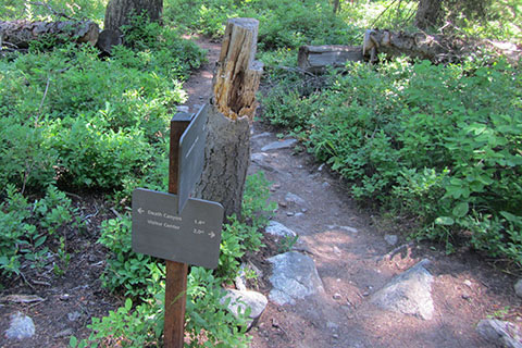
0.10 mile from the inlet stream crossing, the Valley Trail and Phelps Lake Trails separate. The junction is 0.45 mile where the two trails joined and 3.50 miles from the Interpretive Center Trailhead. The Valley Trail also leads to Death Canyon. Continue around the Lake staying to the right.
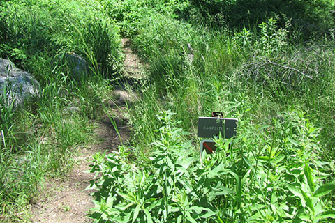
Three backcountry campsites are located near the lake. These sites are accessed from the Death Canyon Trailhead. The first of the sites is located about 0.35 mile from the second Valley Trail junction. Permits are required for all camping within the Park.
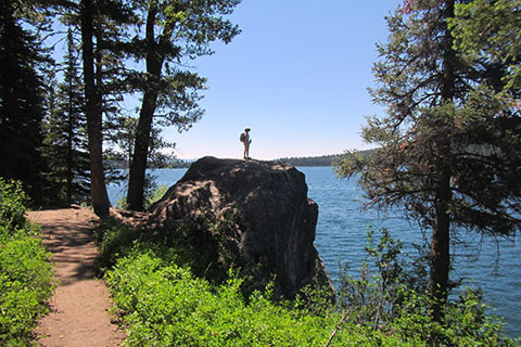
Continuing around Phelps Lake the trail reaches a large boulder on the lake shore. after 0.85 mile from the second Valley Trail junction. The views from atop the boulder are worth the short scramble. The boulder is 4.35 miles from the Interpretive Center.
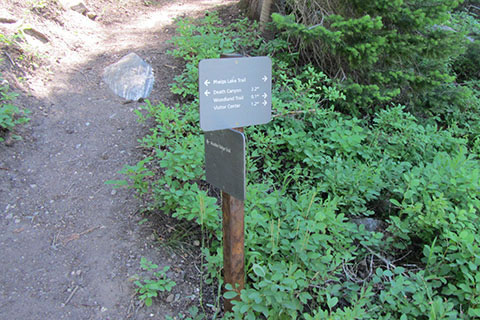
Continue on the Lake Trail. The horse trail to Wister Draw leaves the Phelps Lake Trail before the Phelps Lake Trail re-enters the Preserve. At 0.95 mile from the boulder the Phelps Lake Trail reaches the junction with the Boulder Ridge Trail (the north junction.) The junction is 5.30 miles from the Interpretive Center. Follow signage to continue on the Phelps Lake Trail to the Woodland Trail.
The grave of David Spalding is another good side trip. It is located at 0.10 mile on the Boulder Ridge Trail.
After 0.10 mile the Phelps Lake comes to the junction with Woodland Trail. The junction is 5.40 miles from the start of the route at the Interpretive Center.
The outlet for Phelps Lake is 0.20 mile from the Woodland Trail Junction. It is a worthy side trip. (If you did not visit it on the way to the lake.)

From the start of the Woodland Trail at the junction with the Phelps Lake Trail, it is 0.40 mile to the (south) junction of the Boulder Ridge Trail and the connector. The connector links the Woodland and the Lake Creek Trails.
Continuing from the junction it is 0.35 mile to the Moose-Wilson Road crossing (be careful.)
After the road crossing it is 0.25 mile to return to the Lake Creek Trail by the first bridge crossing.
It is an additional 0.10 mile to return to the trailhead on the familiar trail.
The total mileage of the loop starting and ending at the Interpretive Center is 6.50 miles. The trail is overall a moderate route.