

Stones River Greenway - Skate Park to Kohls
Date Hiked: 6/12/10
Greenway: Stones River Greenway
Address: Two Rivers Park, Two Rivers Parkway,
Nashville,
TN 37214
Skate Park Trailhead
Latitude: 36.18725, Longitude: -86.68664
Two Rivers Trailhead
Latitude: 36.19197, Longitude: -86.67743
Heartland Trailhead
Latitude: 36.19034, Longitude: -86.66853
Kohl's Trailhead
Latitude: 36.18538, Longitude: -86.63432
One Way Mileage: 4.90 Miles
Other Paths Connecting to the Greenway: Shelby Bottoms Greenway
For Map, Trail Mileage, GPS, and Trail Notes go to Page 2
Pre-Trip Comments
The Two Rivers Skate Park to Kohls Store section of the Stones River Greenway links Hermitage area to Donelson and on to East Nashville and Downtown. This great path is just a continuation of the Shelby Bottoms Greenway. It does have a very steep hill (for greenways) located between McGavock Pike and the Heartland Trailhead.
The Path
Directions: The Two Rivers Park Skate Park Trailhead is located in the Donelson, TN area. Take exit 10 off Briley Pkwy and go east (away from the river) on Two Rivers Parkway. The Trailhead is on the right in the Wave Country area.
The Kohls Trailhead is located at 2330 Jackson Downs Boulevard, Hermitage, TN. Jackson Downs is off Lebanon Road at the Target Shopping Center. The trailhead is in the parking area near the Stones River.
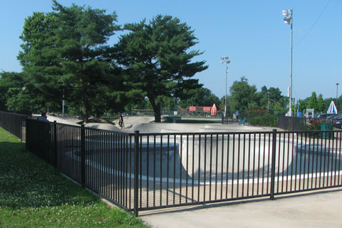
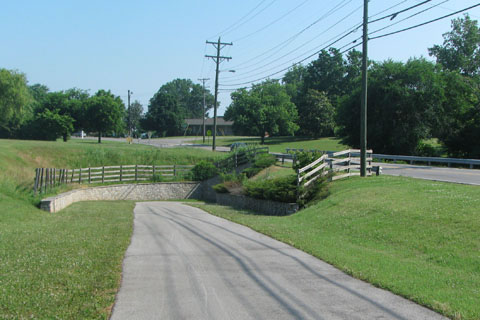
Two Rivers Skate Park
From the Skate Park Trailhead pass the Skate Park on your right and cross the park entrance road.
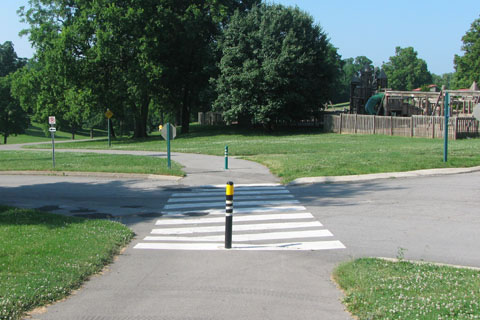
Crossing road to Wave Pool and passing playground
The path goes downhill as it curves around the playground and thru a Disc Golf course.
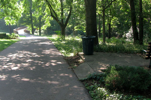
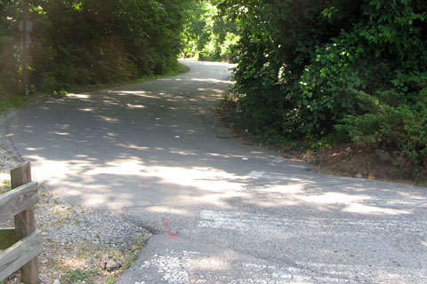
Steep hill with rest benches
Rising to the top of the next rise the path then descends steeply to a tunnel. The path goes under Two River Parkway. It is .45 miles from the trailhead to the Two Rivers Parkway tunnel.
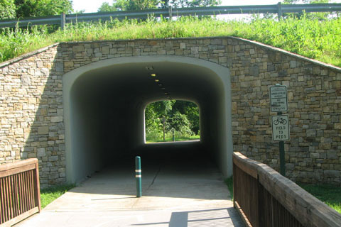
Tunnel under Two Rivers Parkway
After going thru the tunnel the path climbs easily with McGavock High School across the road to the right and the golf course to the left.
Intersection with Clubhouse road
.40 miles from the tunnel, the path intersects a roadway. The road leads left to the Clubhouse of the golf course.
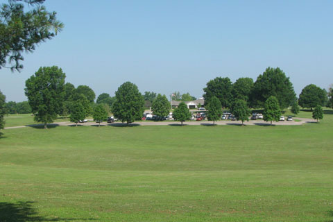
Clubhouse
Leveling out the path continues to Two Rivers Trailhead on the right after .30 miles.
Two Rivers Park Trailhead
In .20 miles the path crosses another road, it goes left to a dead end.
Crossing Park road and up a slight hill to the Middle School
A slight rise brings the path to the Two Rivers Middle School and crosses one of the school roads.
After crossing school road, the path goes under McGavock Pike - the Middle School is off to the left
Descending the path comes to the second tunnel. The tunnel goes under McGavock Pike.
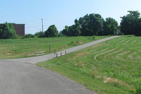
Steep hill from the tunnel to Heartland
After passing under the road, the path shares the Stones River Road as it descends very steeply to Heartland. Use care!
Path splits to the right
Near the bottom of the hill the path splits to the right.
Water Treatment Plant on the left
From the tunnel it is .40 miles to the Heartland Trailhead. To the left is the secure Water Treatment Plant.
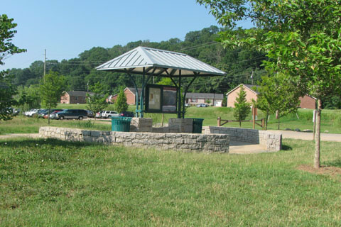
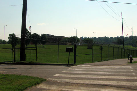
Heartland Trailhead
To the right is the trailhead and soccer/sports fields.
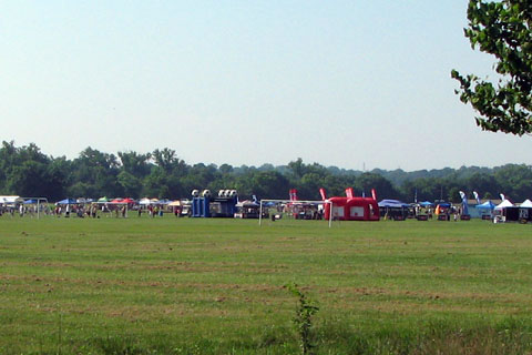
Heartland Sports Fields
The path continues along the Water Treatment's fence line. Turning a corner to the left the path heads toward a bridge crossing the Stones River and leaves the soccer fields behind. It is .40 miles from the Heartland Trailhead to the bridge.
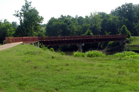
Stones River Bridge
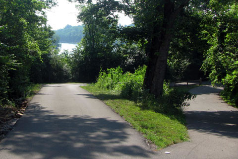
Leaving the bridge the path curves left as it head to a point overlooking the confluence of the Stones and Cumberland Rivers.
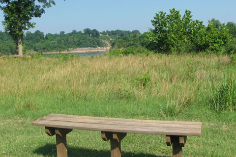
Overlooking the Stones and Cumberland Rivers
As the path leaves the point it follows a narrow swath of land between the Cumberland River on the left and a farm on the right. The terrain is rolling.
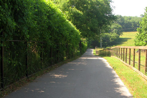
Rolling trail along Golf Course
.80 miles from the Stones River Bridge the path turns right at the property line and leaves the Cumberland River. The path continues sandwiched between the Ravenwood Golf Course and the farm.
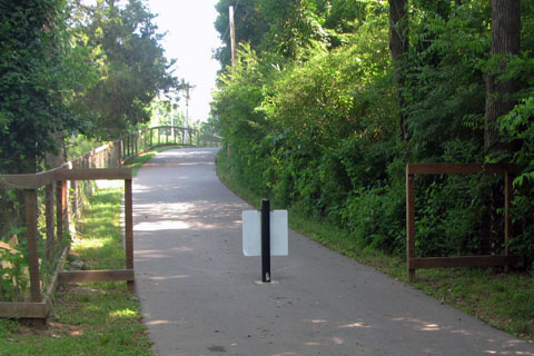
Path intersecting Stones River Road
In .35 miles the path intersects Stones River Road and the private entrance to the farm.
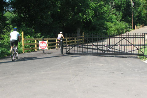
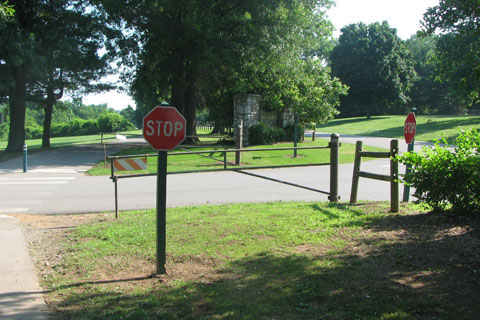
Road Gate
Continue left on the road toward Lebanon Road. After almost one mile on the road a gate is positioned across the road to stop motorized vehicle traffic. Bike and pedestrian lanes are on the right.
Ravenwood entrance at the road gate
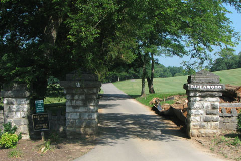
Ravenwood in to the left at the gate closure.
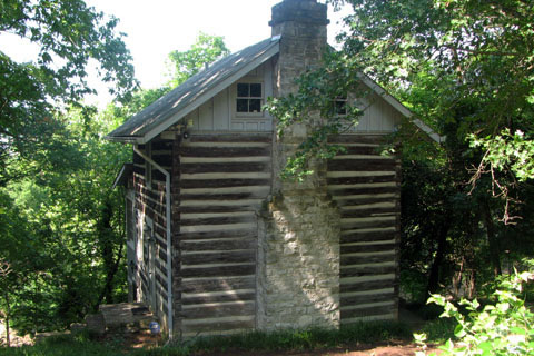
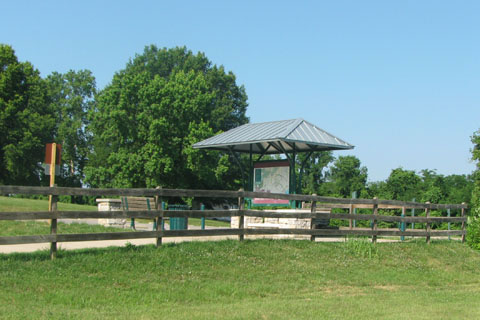
River Song
Just beyond the gate the River Song cabin overlooks the Stones River.
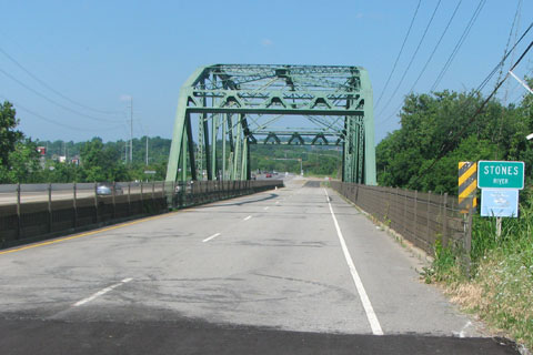
Old Stones River Bridge
Before reaching Lebanon Road the path leaves Stones River Road and goes right to join the old Lebanon Road. The path crosses Stones River on the old bridge (no vehicles).
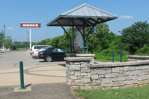
Kohls Trailhead
After crossing the river the path leaves the old roadway to the right and winds back under the bridge. The Kohls trailhead is just on the other side of the bridge, 4.90 miles from the Skate Park Trailhead.